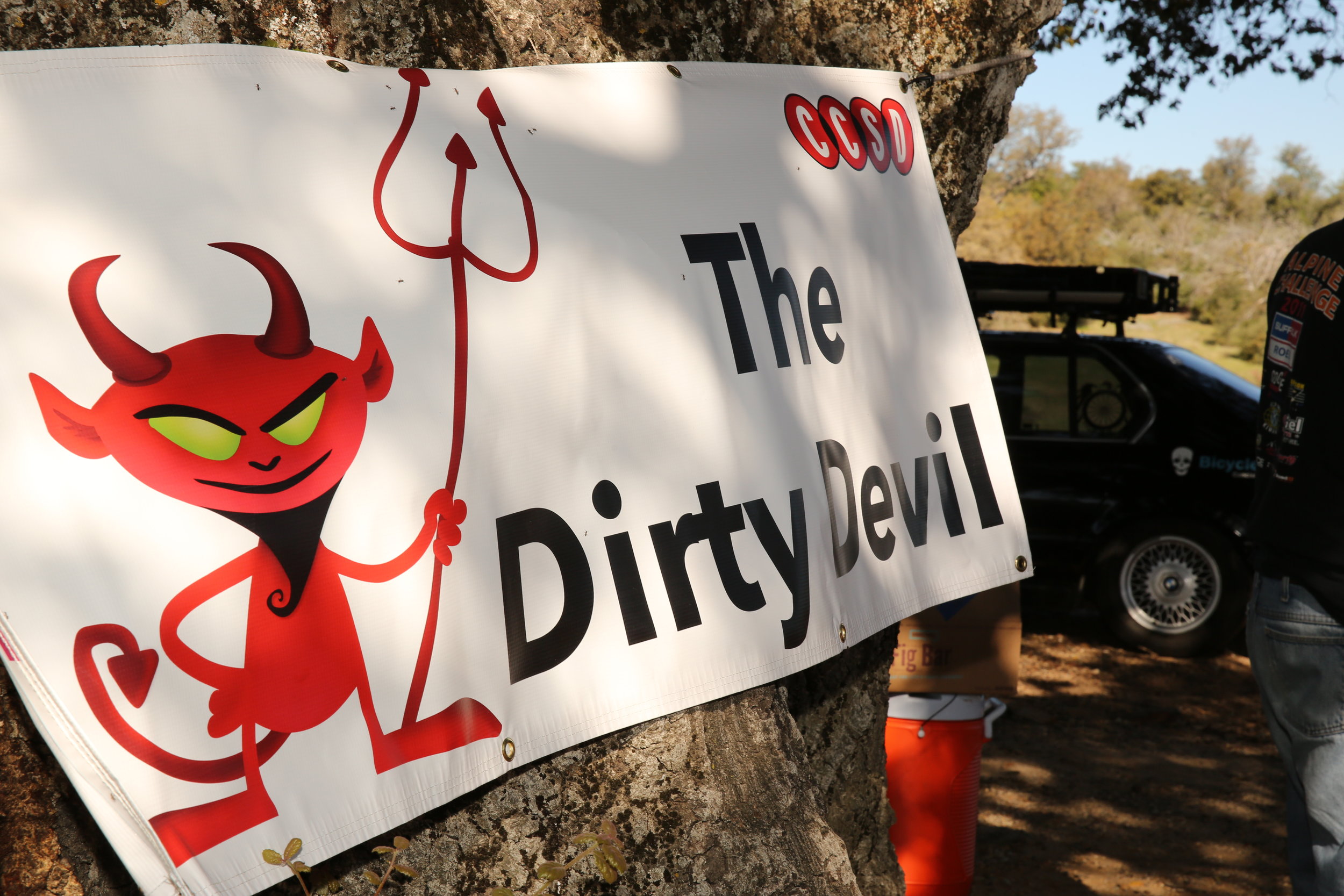
The Dirty Devil is taking an indefinite break.
Thank you to all the riders, volunteers, and staff who have made the event a great success over the past seven years.

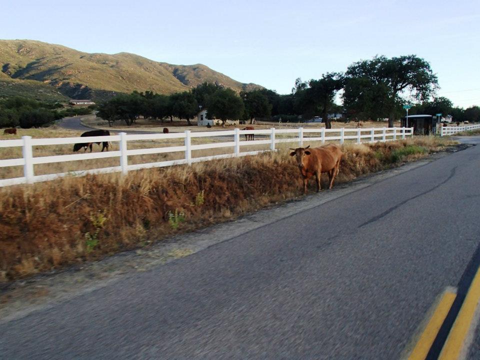
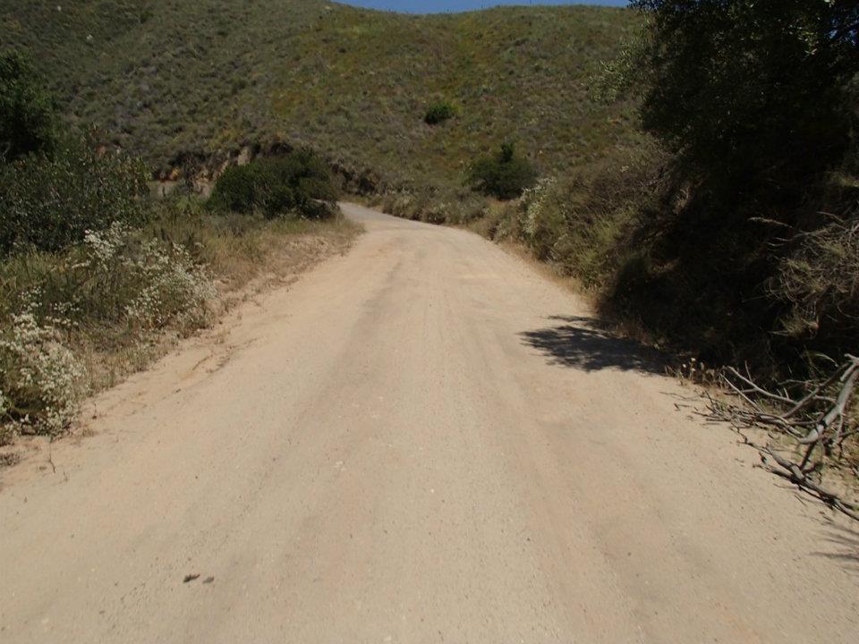
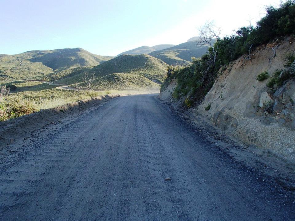
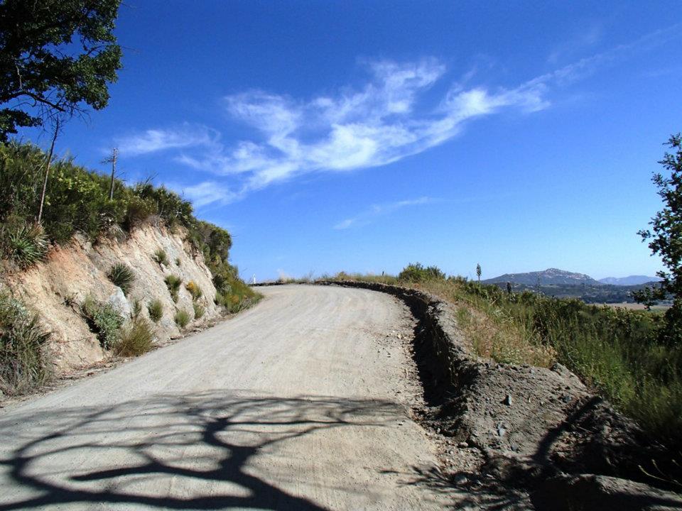
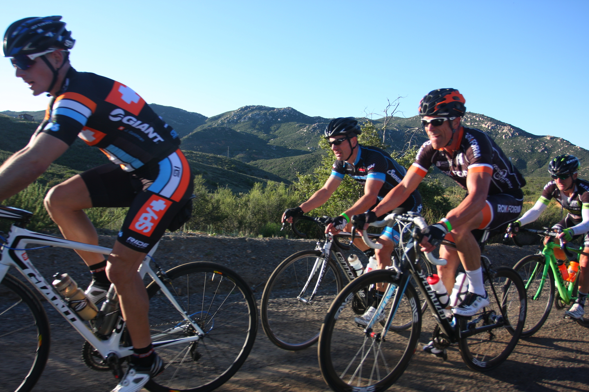
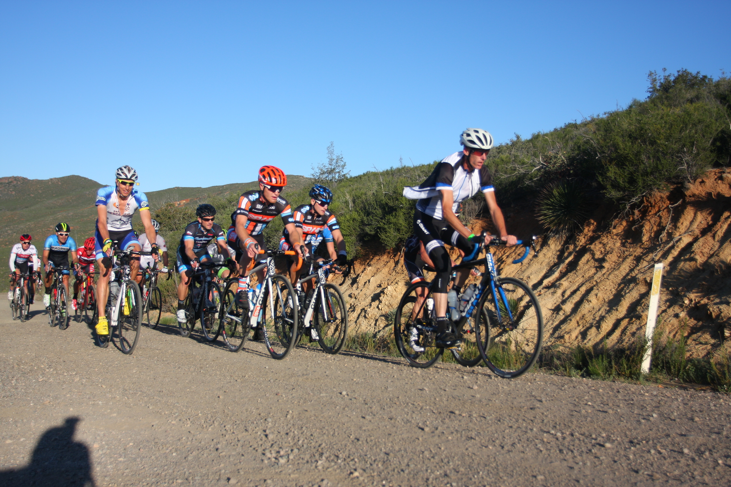
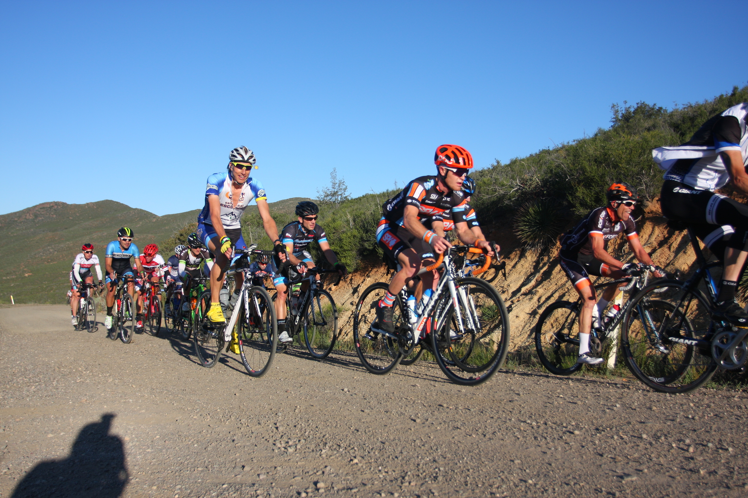
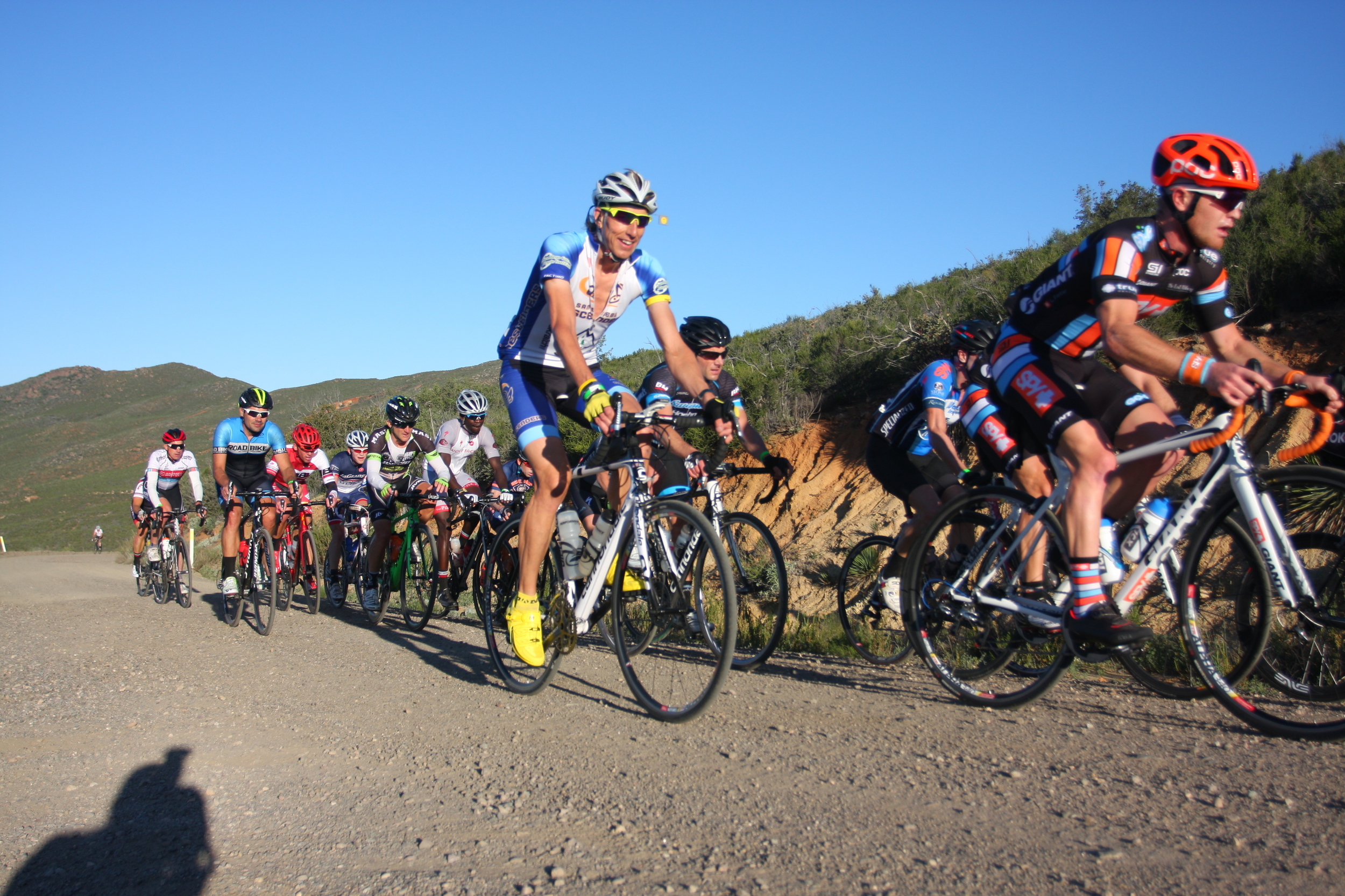
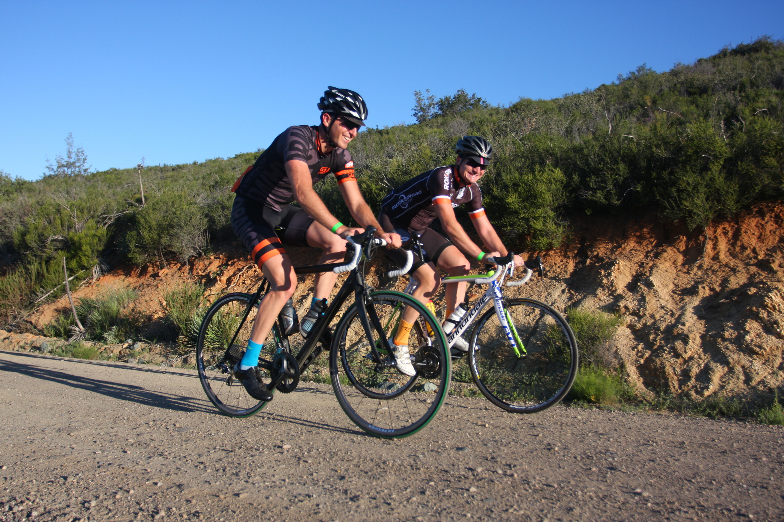
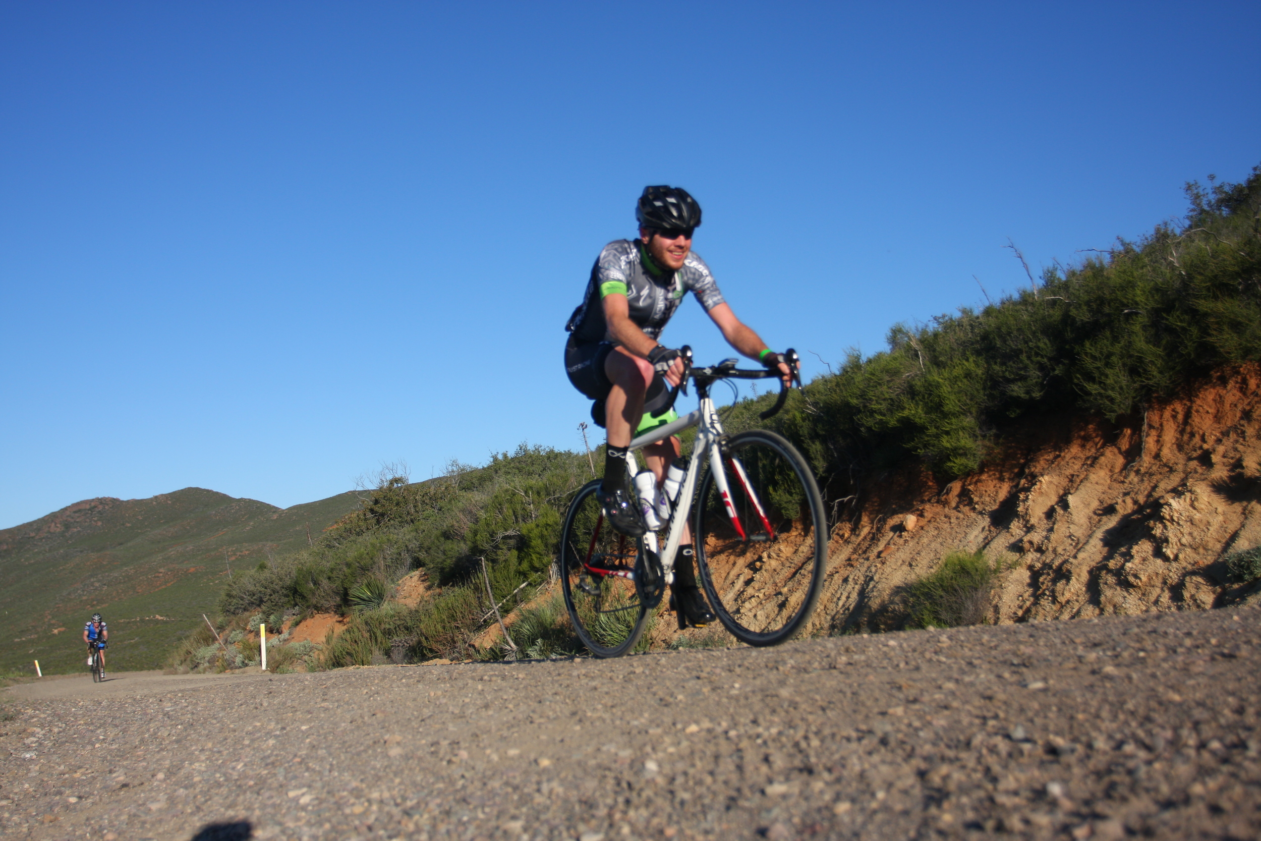
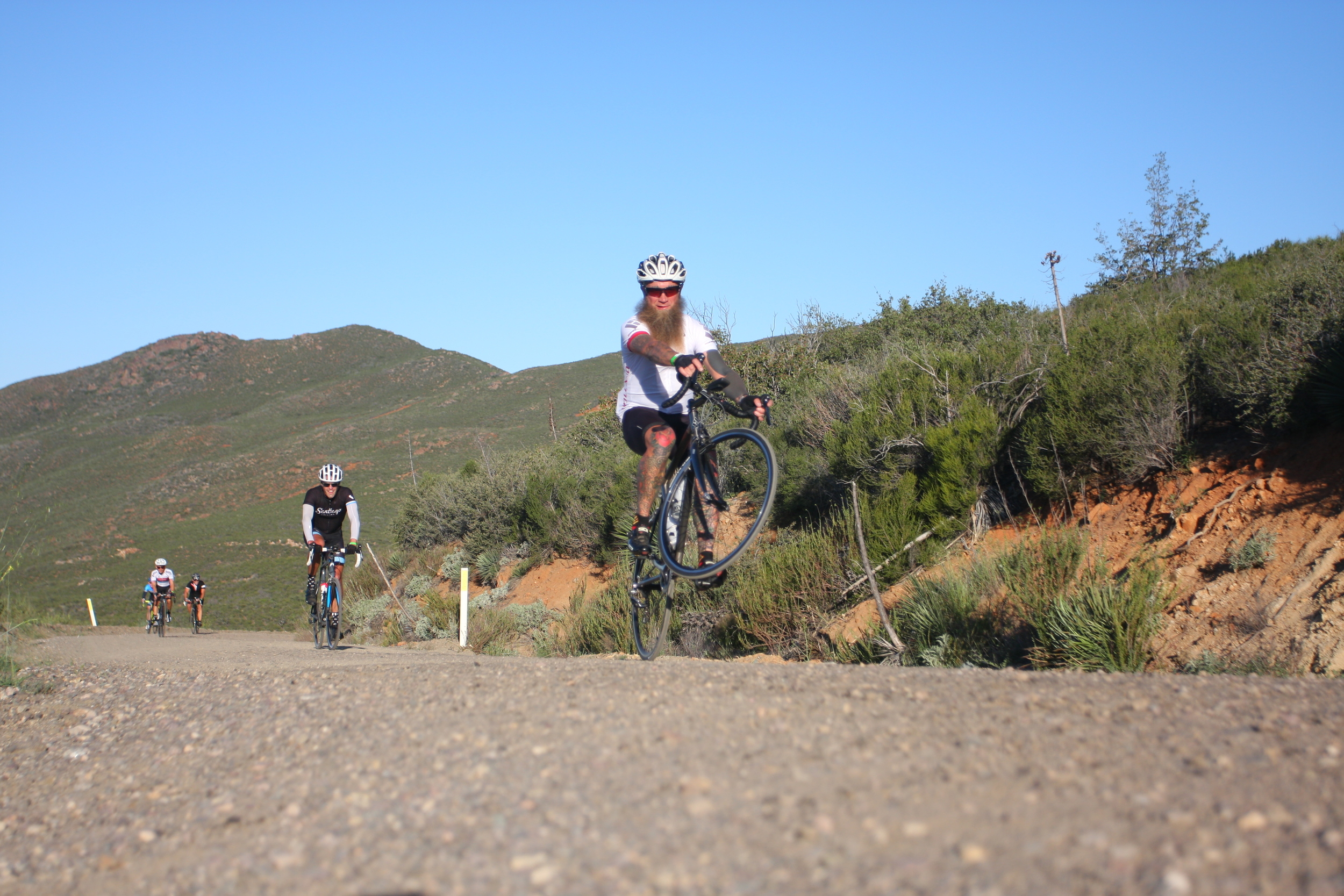
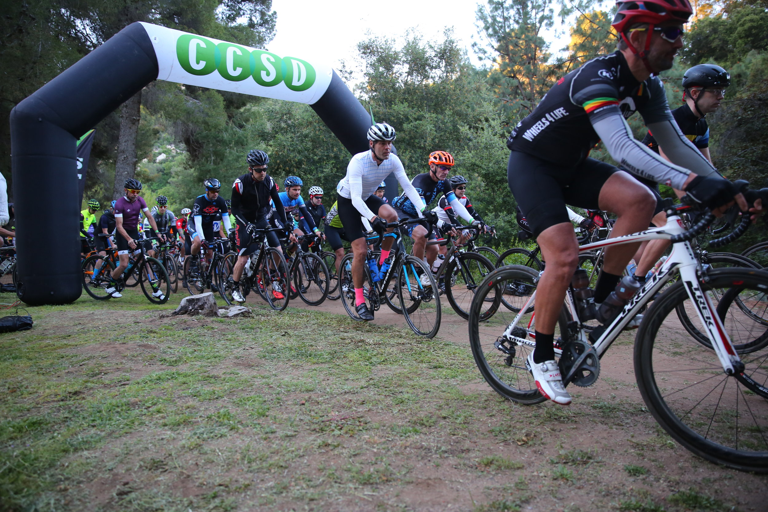
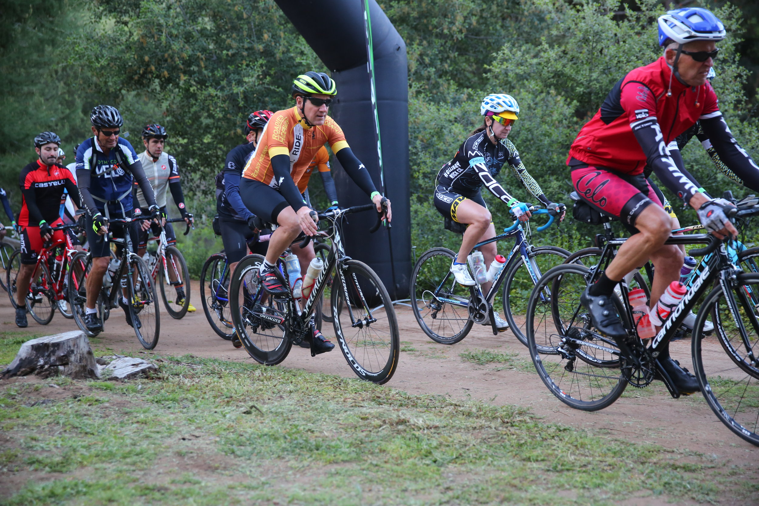
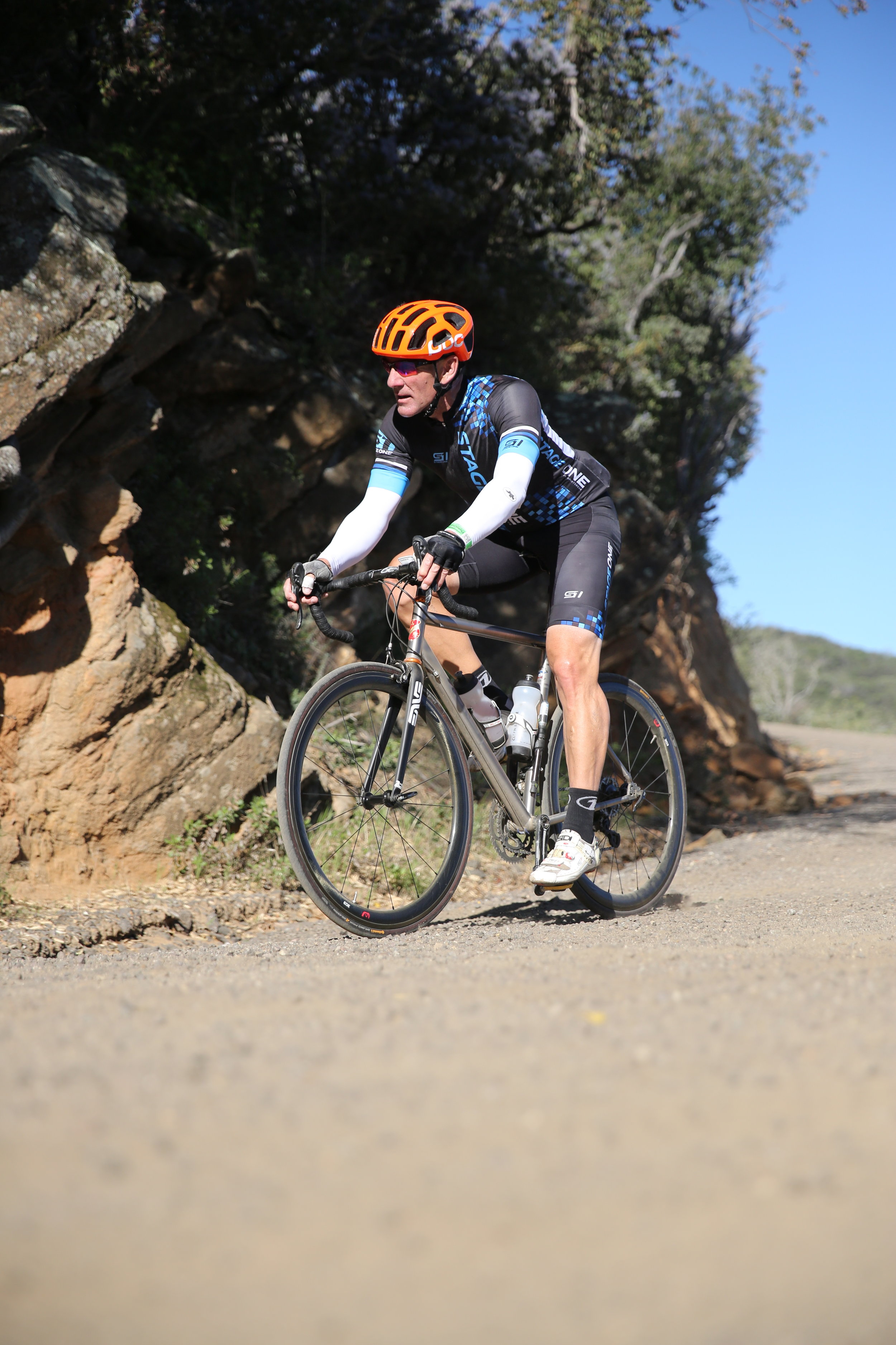
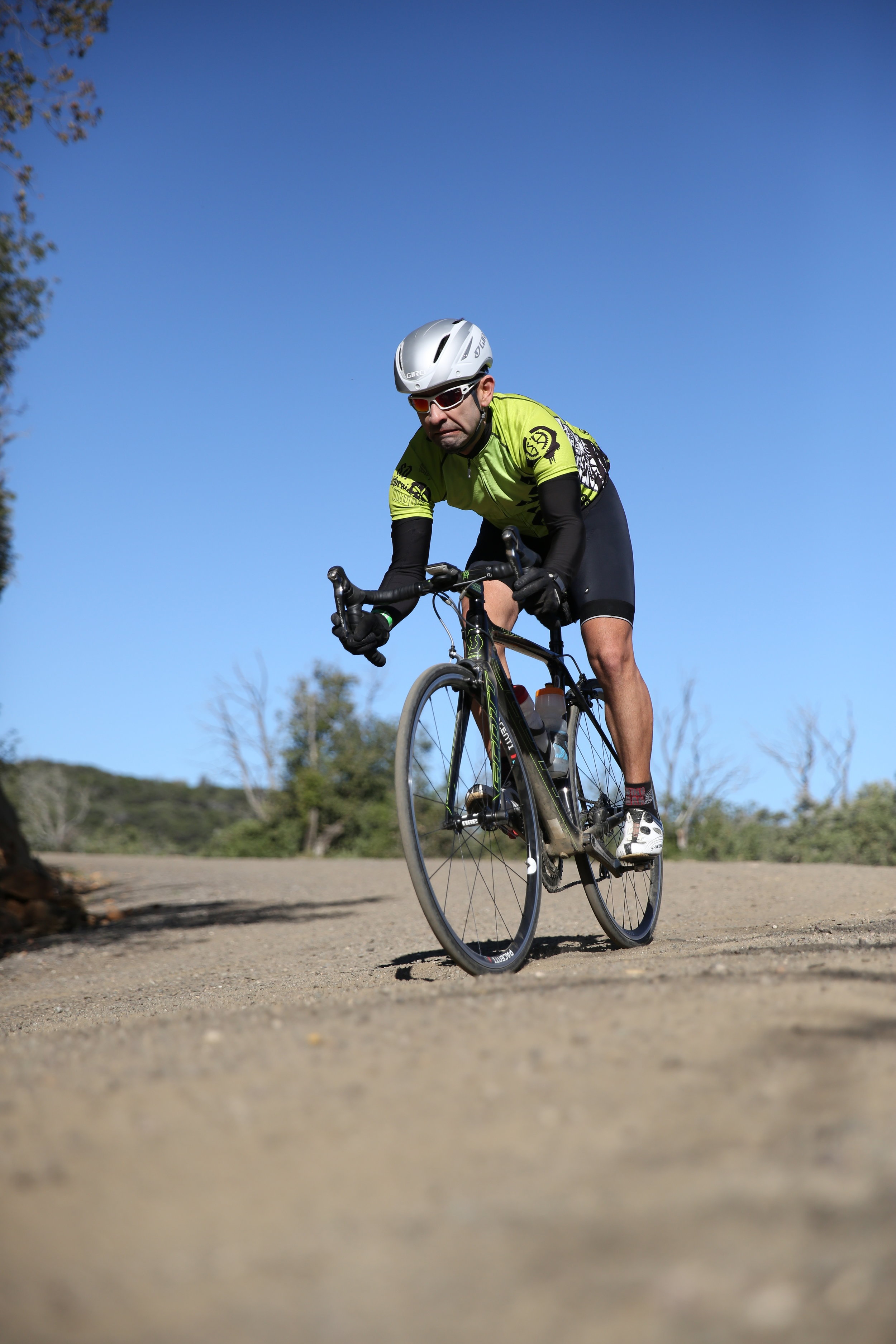
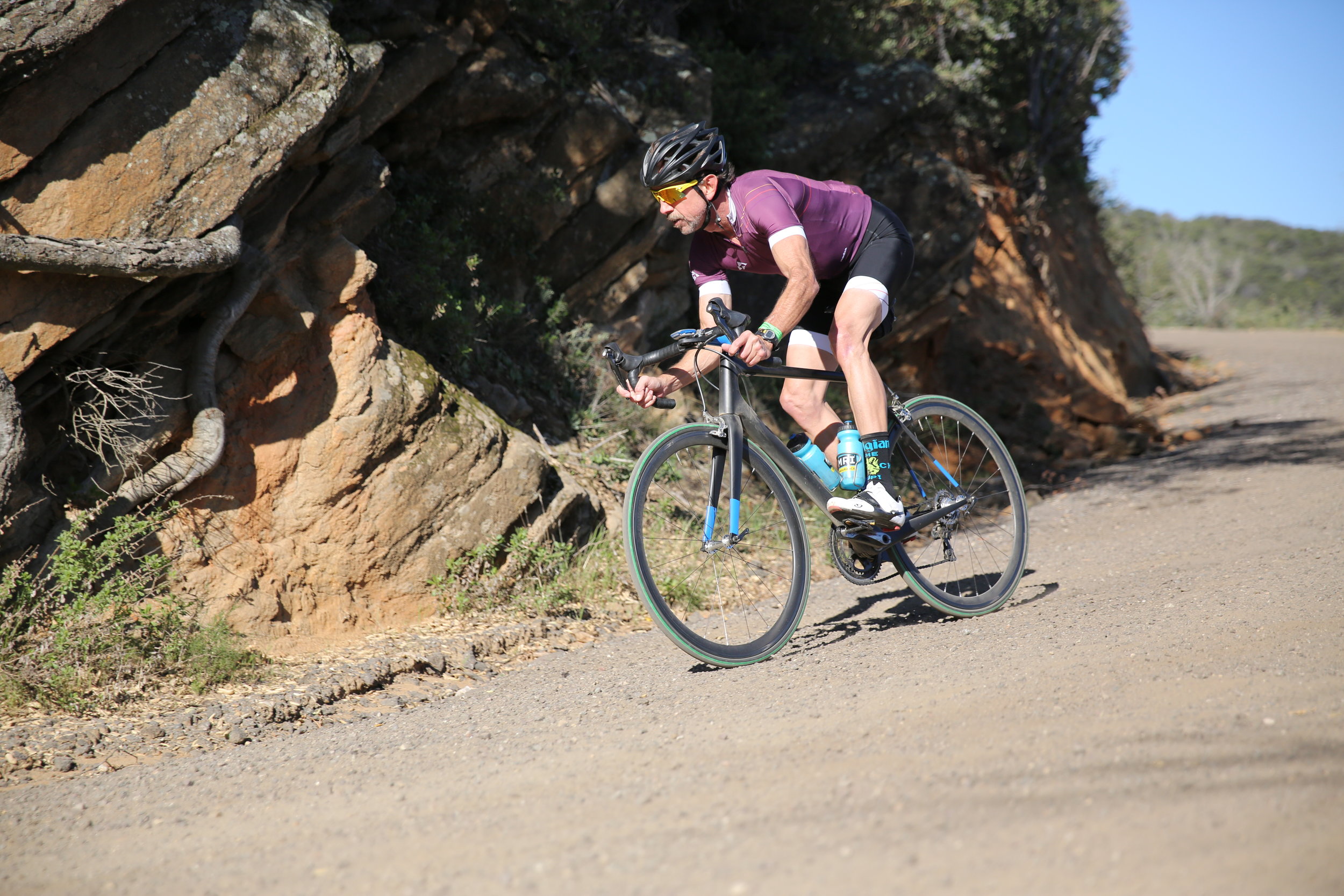
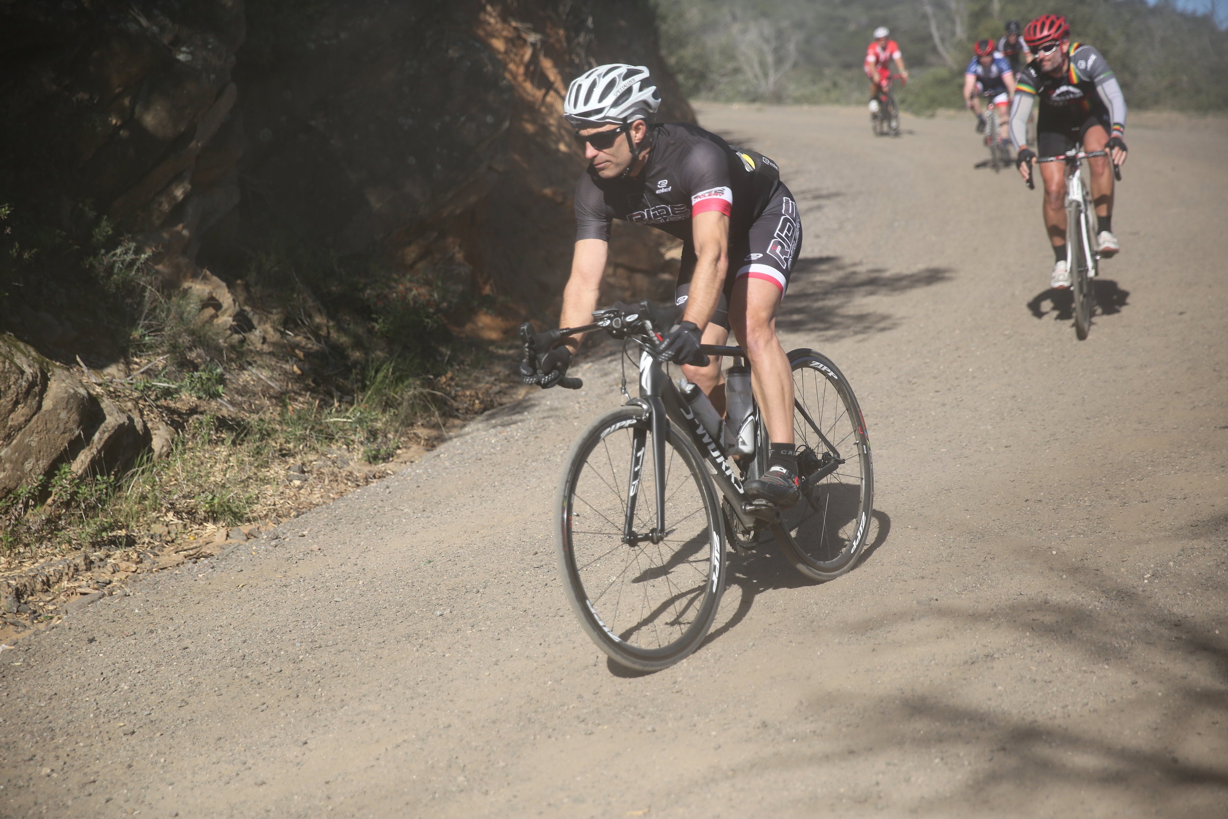
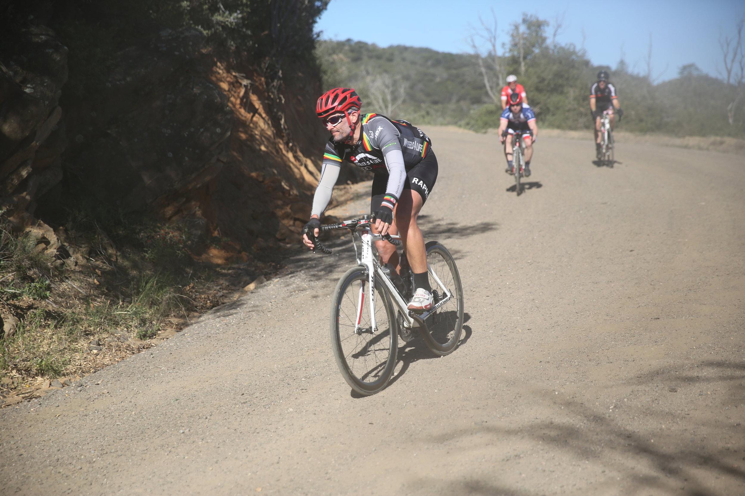
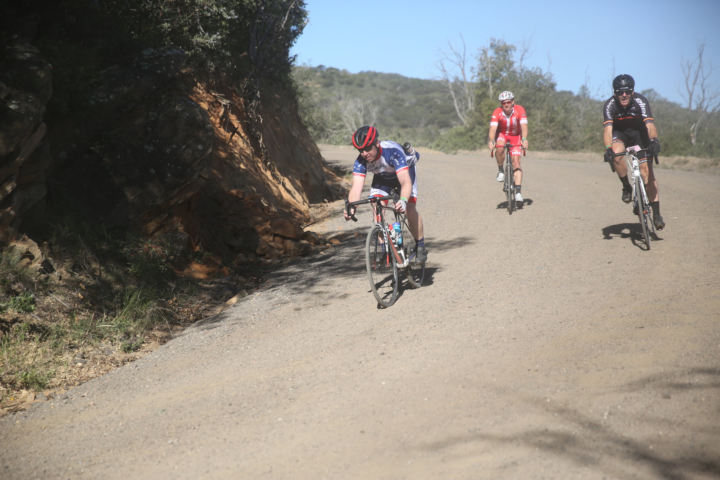
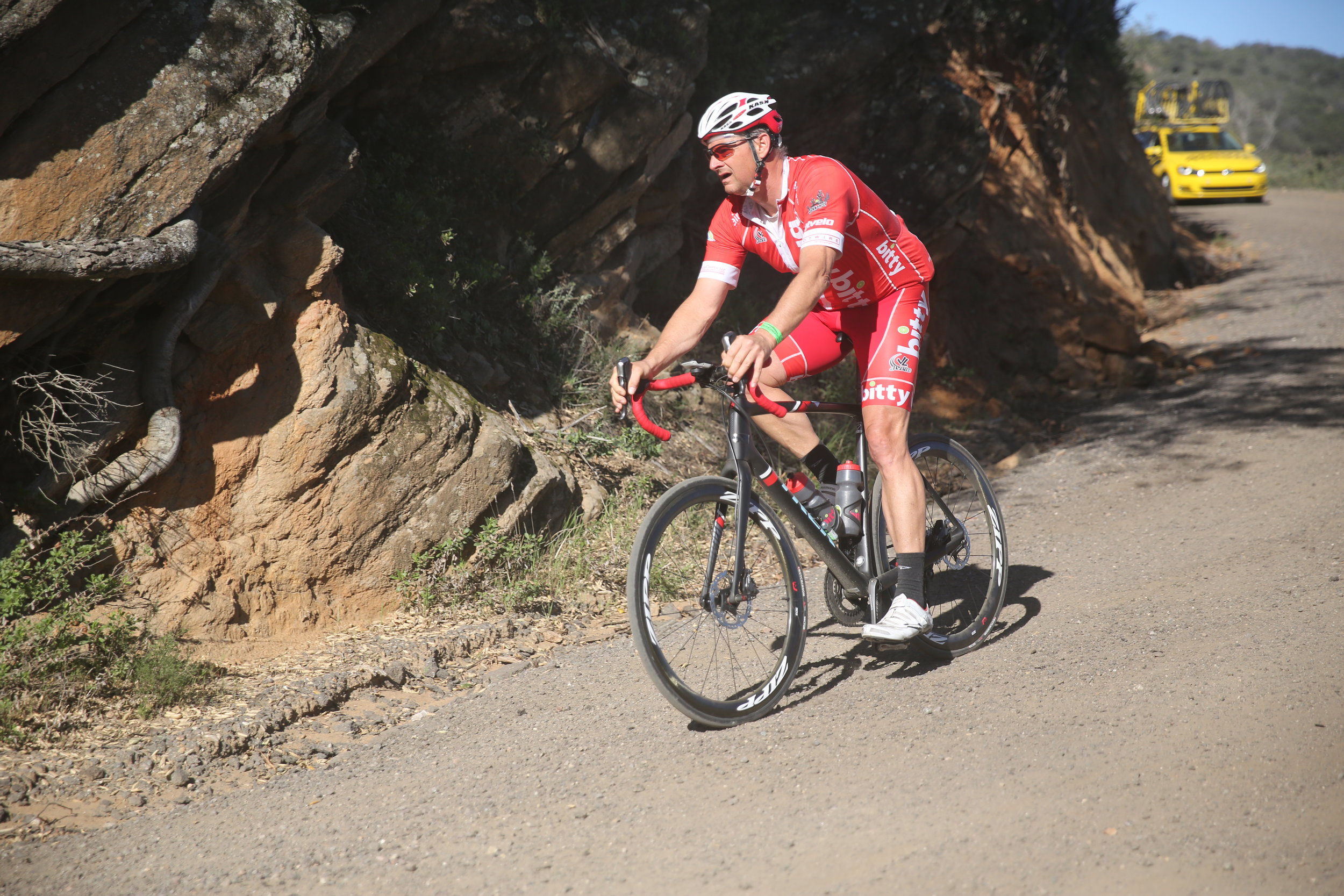
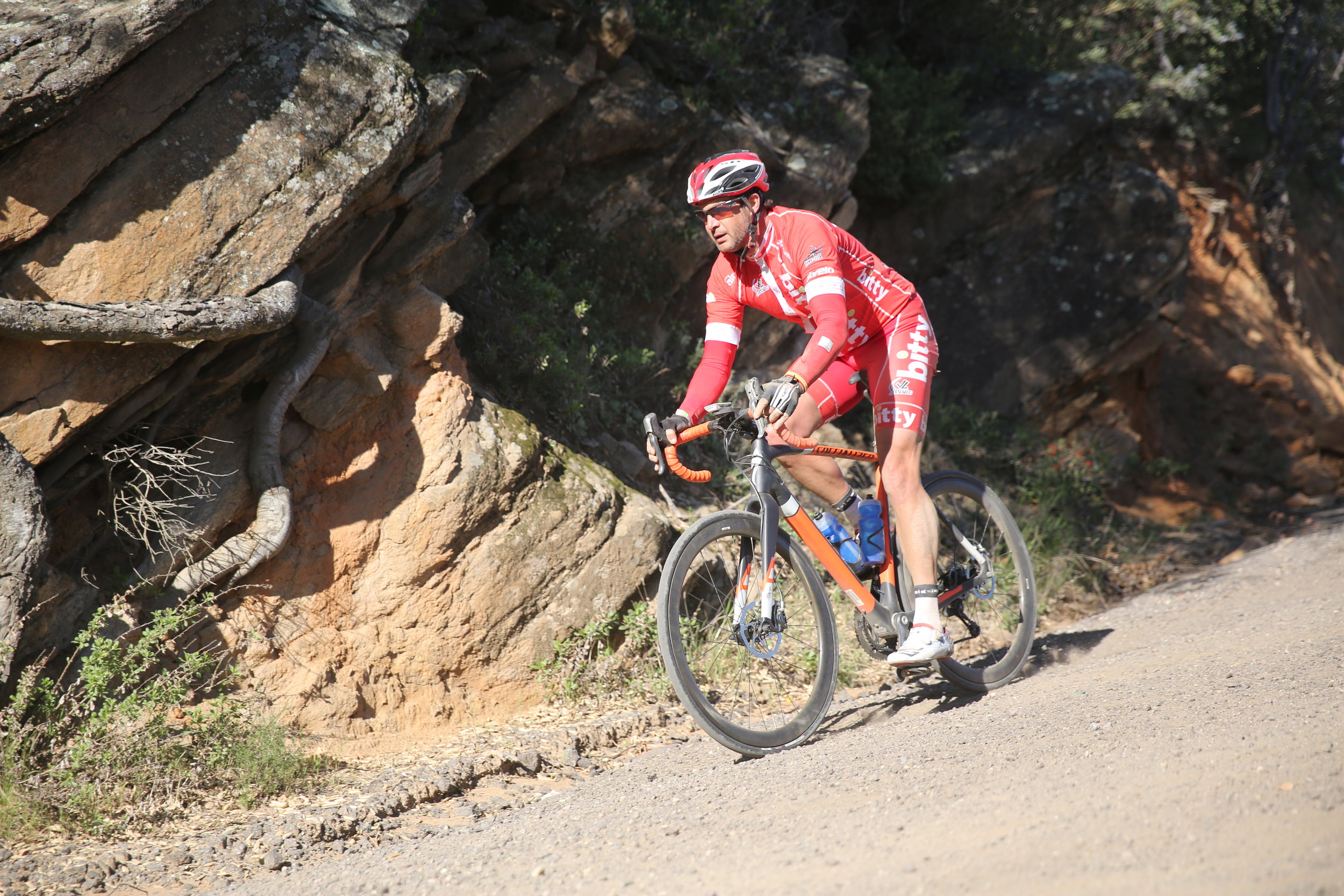
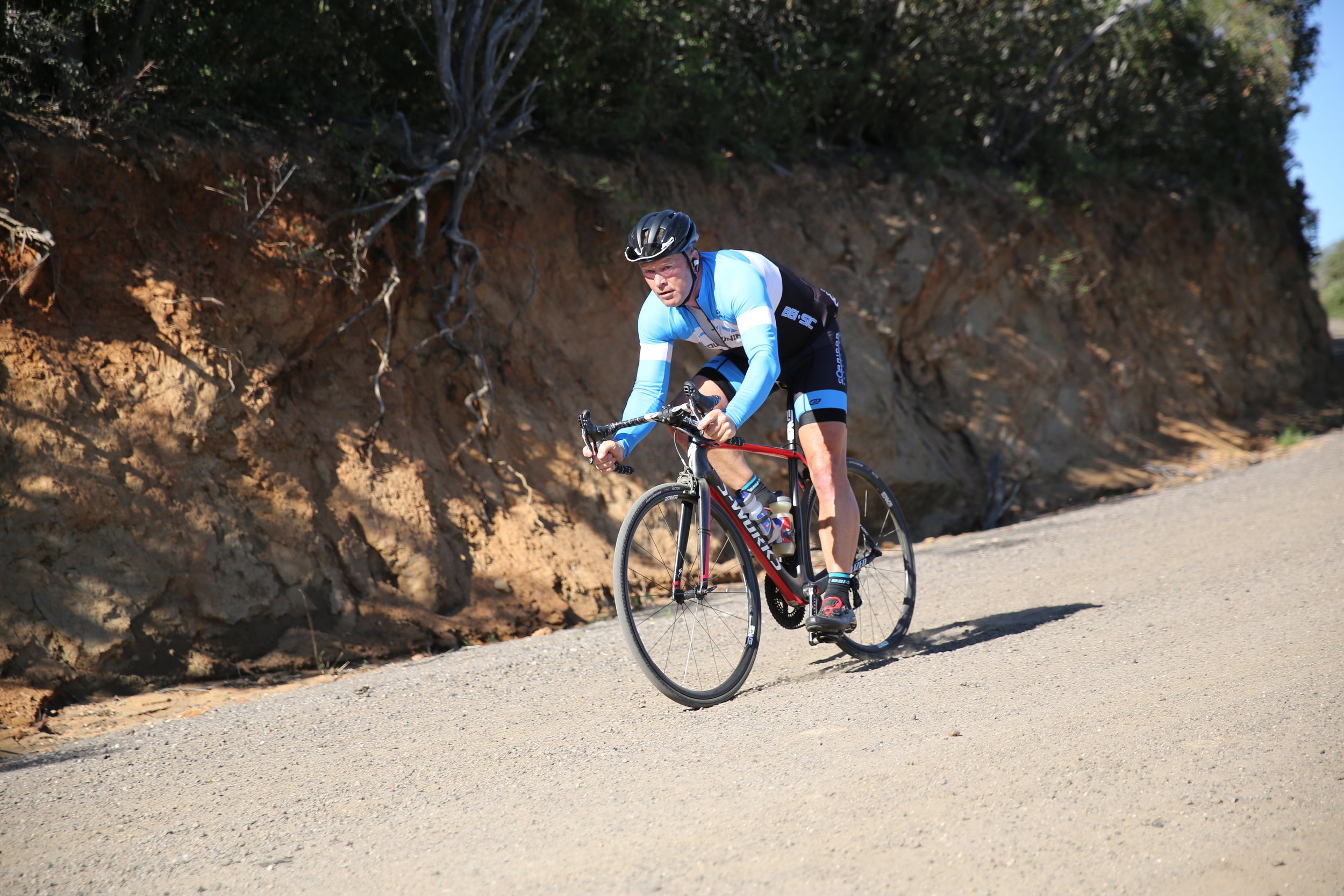
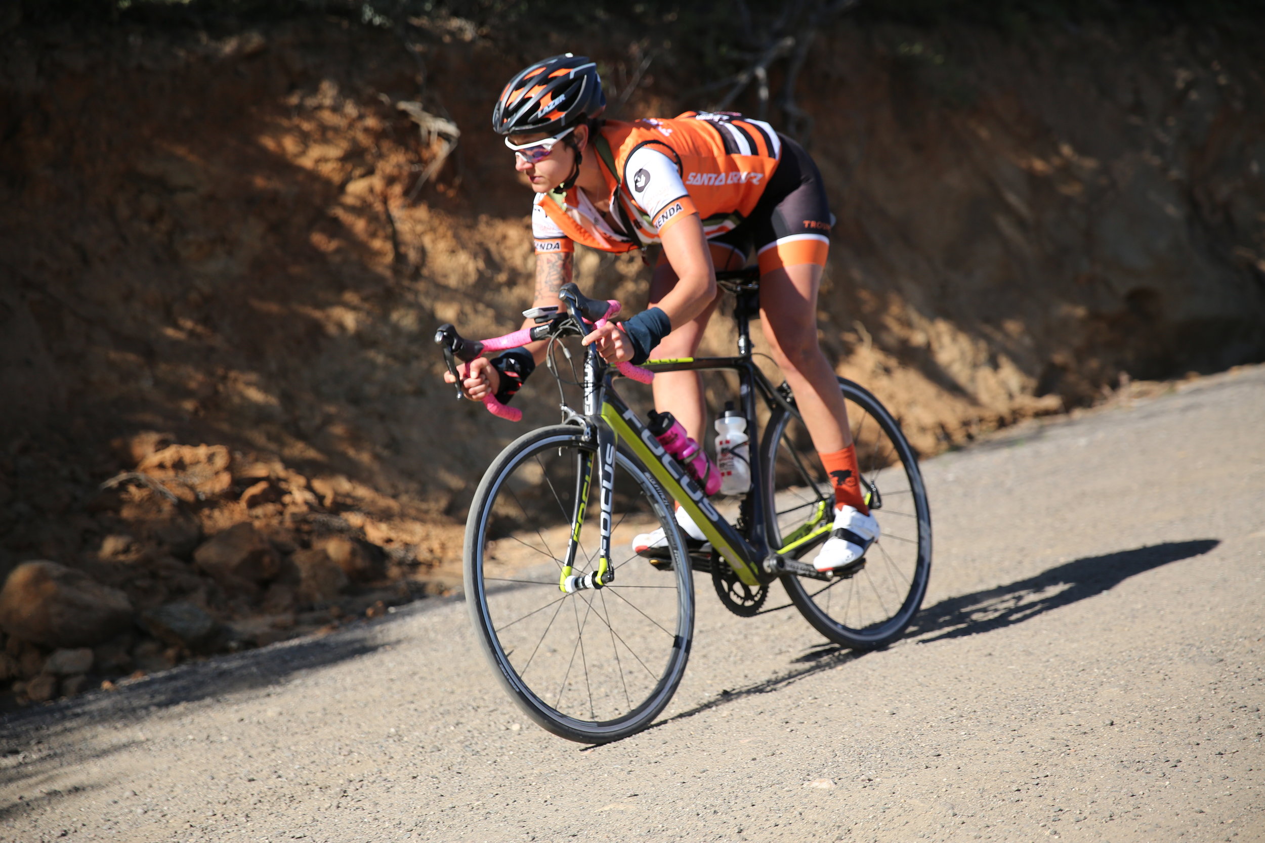
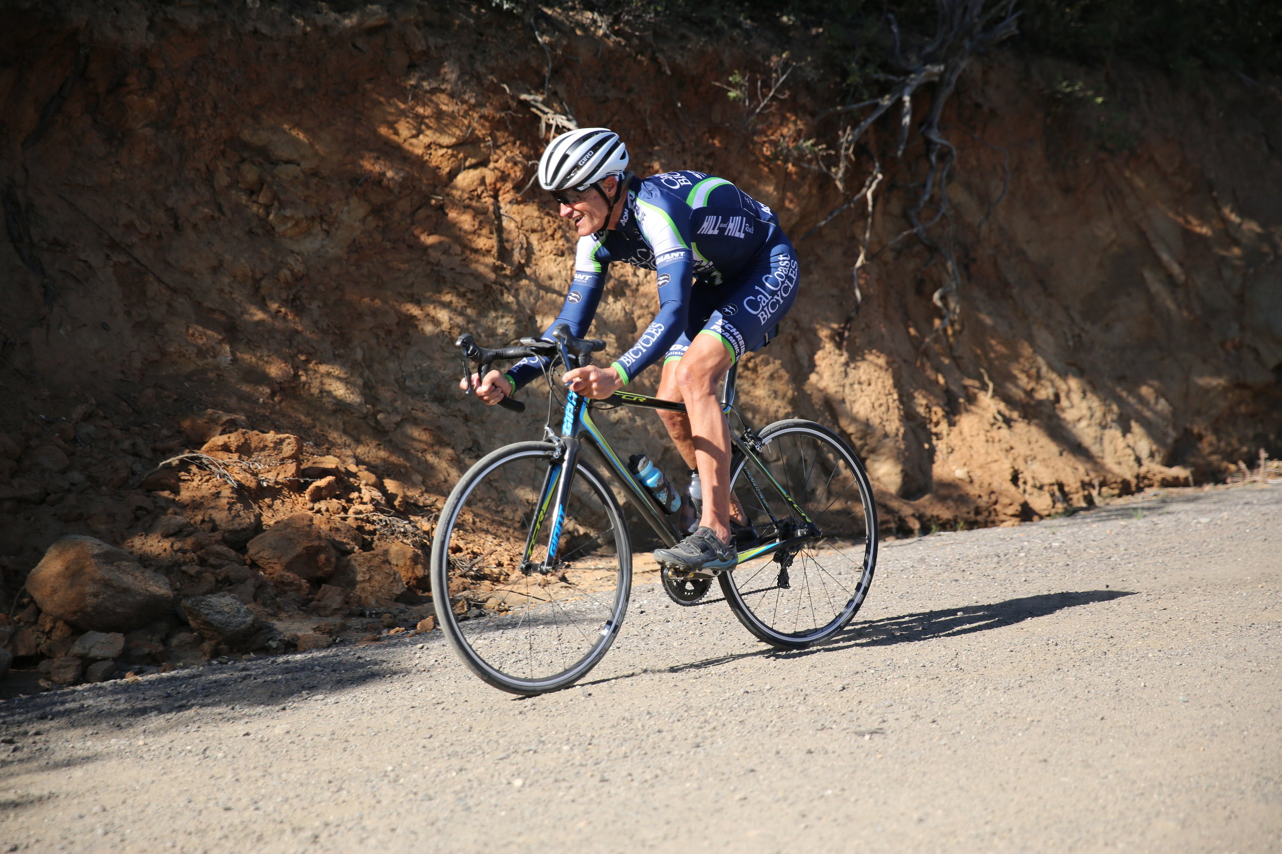
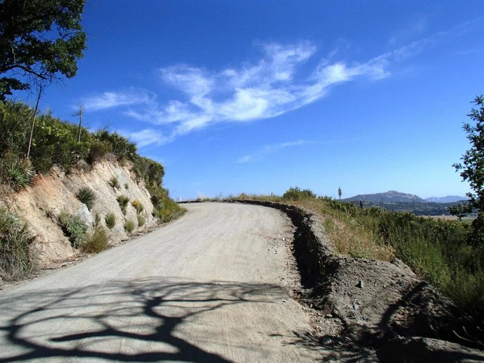
The Dirty Devil is California’s premier (and most challenging) road bike ultra century, which includes up to 28 miles of packed dirt roads! Route options available: 84 miles, or tackle the whole 127 mile course. The Dirty Devil features a King of the Mountain (KOM)/Queen of the Mountain (QOM) Challenge on uphill dirt sections!
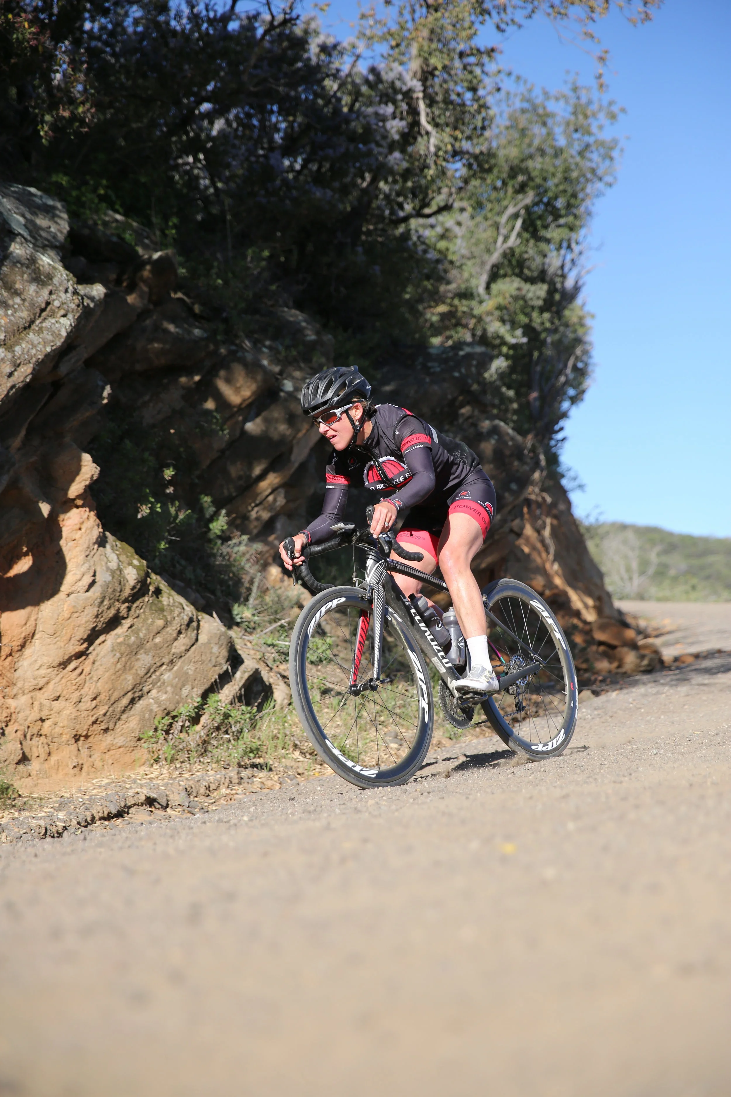
All packed dirt roads are challenging, but road bike friendly!
We are proud to announce that our chief beneficiary is Alpine Kiwanis, Alpine, CA. We look forward to a long partnership with Alpine Kiwanis. We are thankful as they will providing a finish line BBQ with refreshments for all registrants.
Registration Information
Early Bird Registration until January 31, 2016:
84 Mile Option US$53.00*
127 Mile Ultra Century US$63.00*
*After January 31, 2016, registration fees increase buy $10 for each category. Event day registration is available on-site (cash, check, or credit) for $7 surcharge.
Online registration closes at 9:00pm on Friday, March 24, 2017.
Volunteer at a SAG station for The Dirty Devil. All volunteers receive a 10% discount off any one US-based CCSD camp or 100% of any one-day event. Please contact robert@ccsd.com, if interested in volunteering.
Event Features
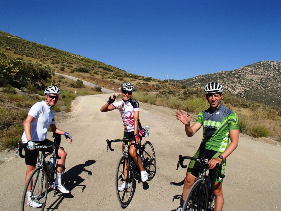
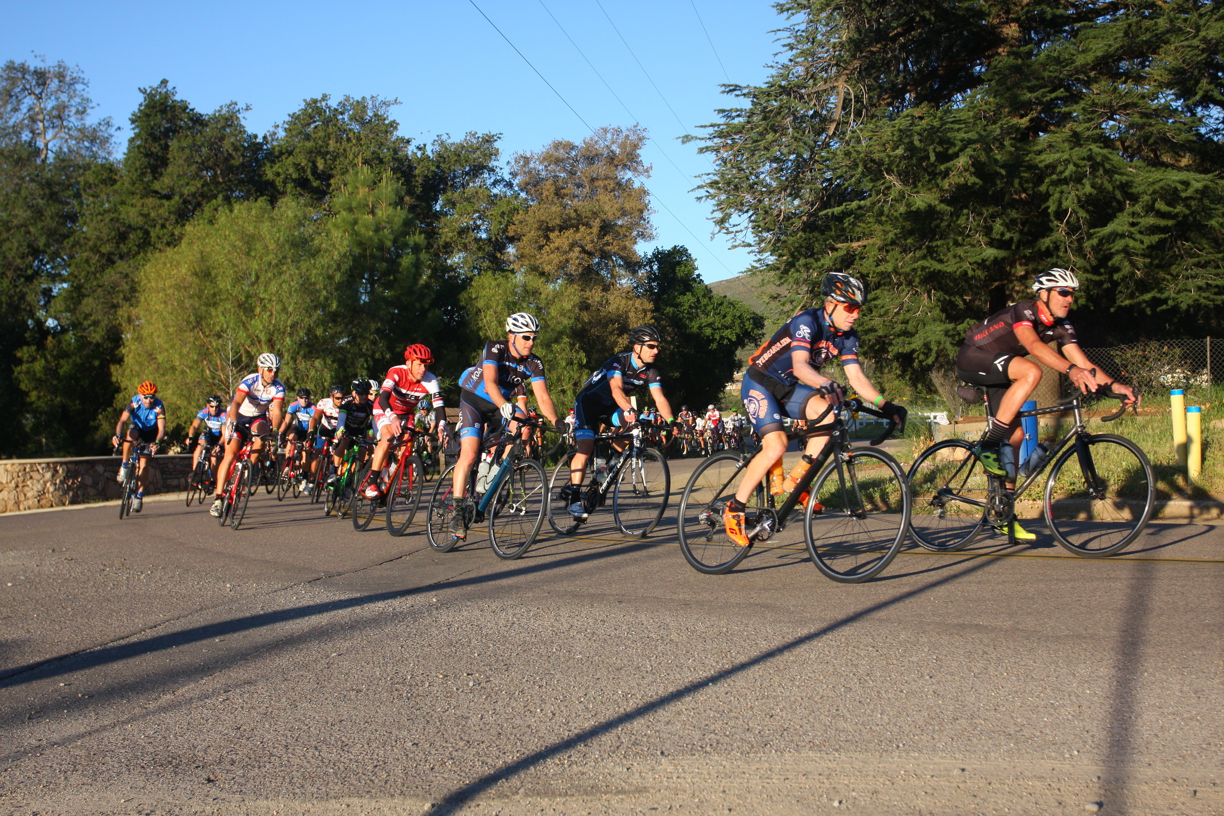
The absolute most challenging 84 mile or 127 mile cycling routes you've ever encountered
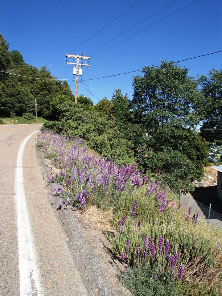
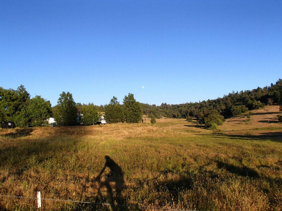
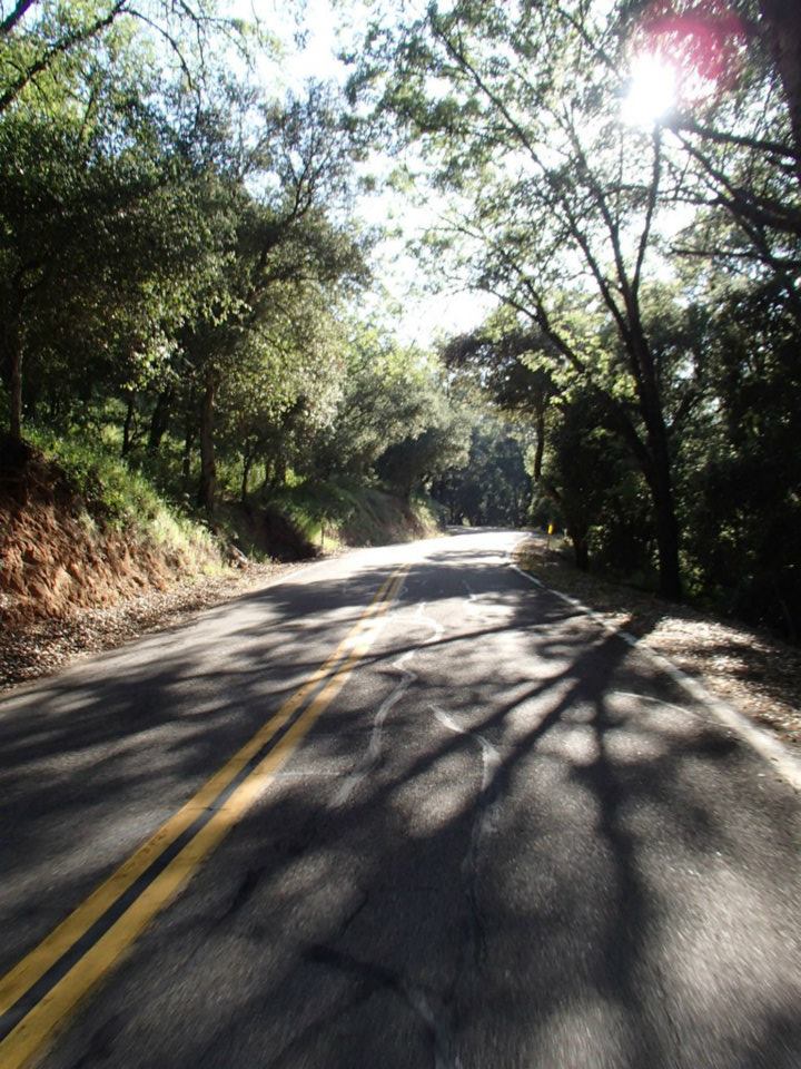
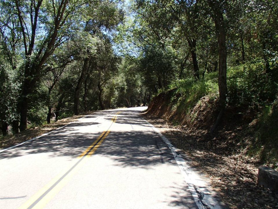
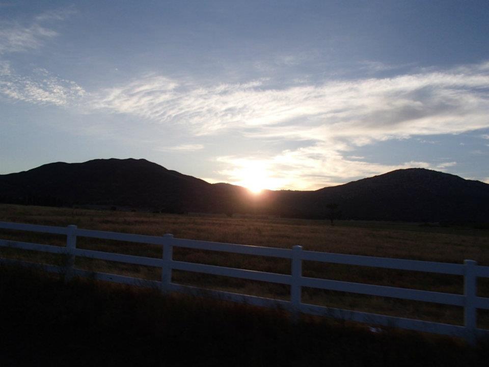
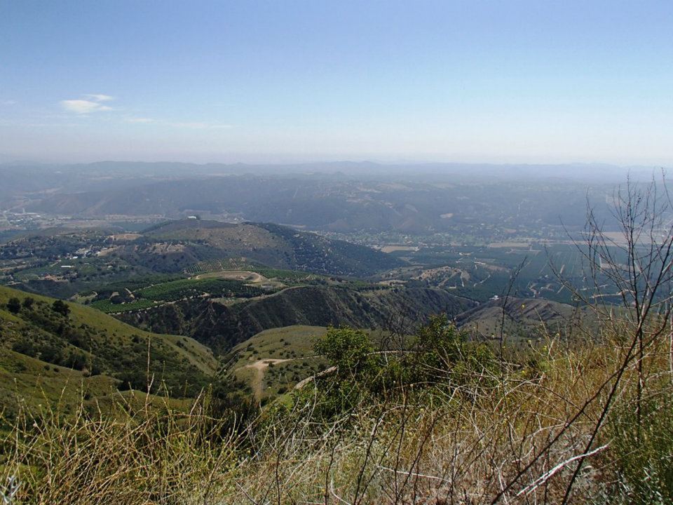
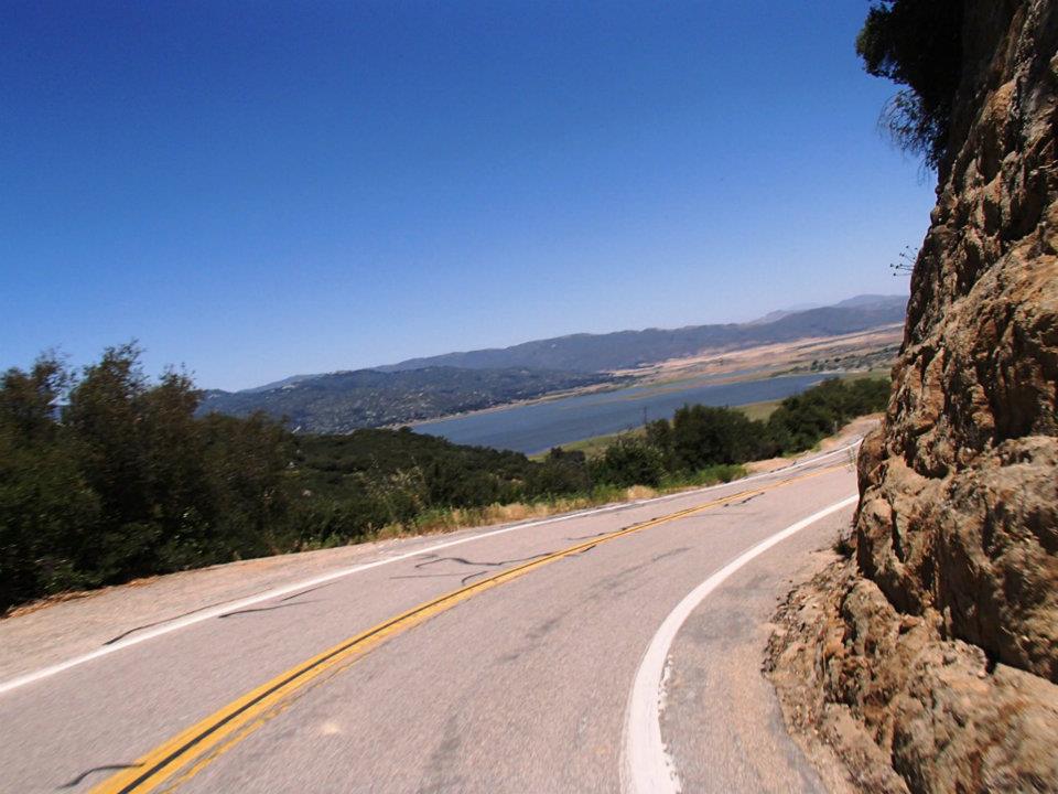
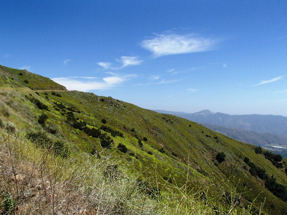
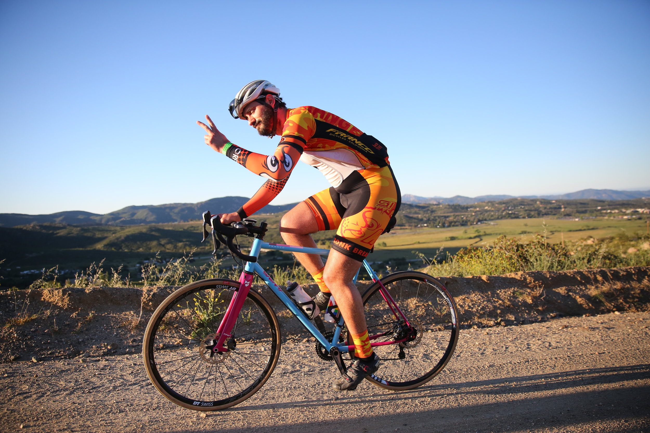
Some of the most stunning scenery on hidden treasures of roads in San Diego County
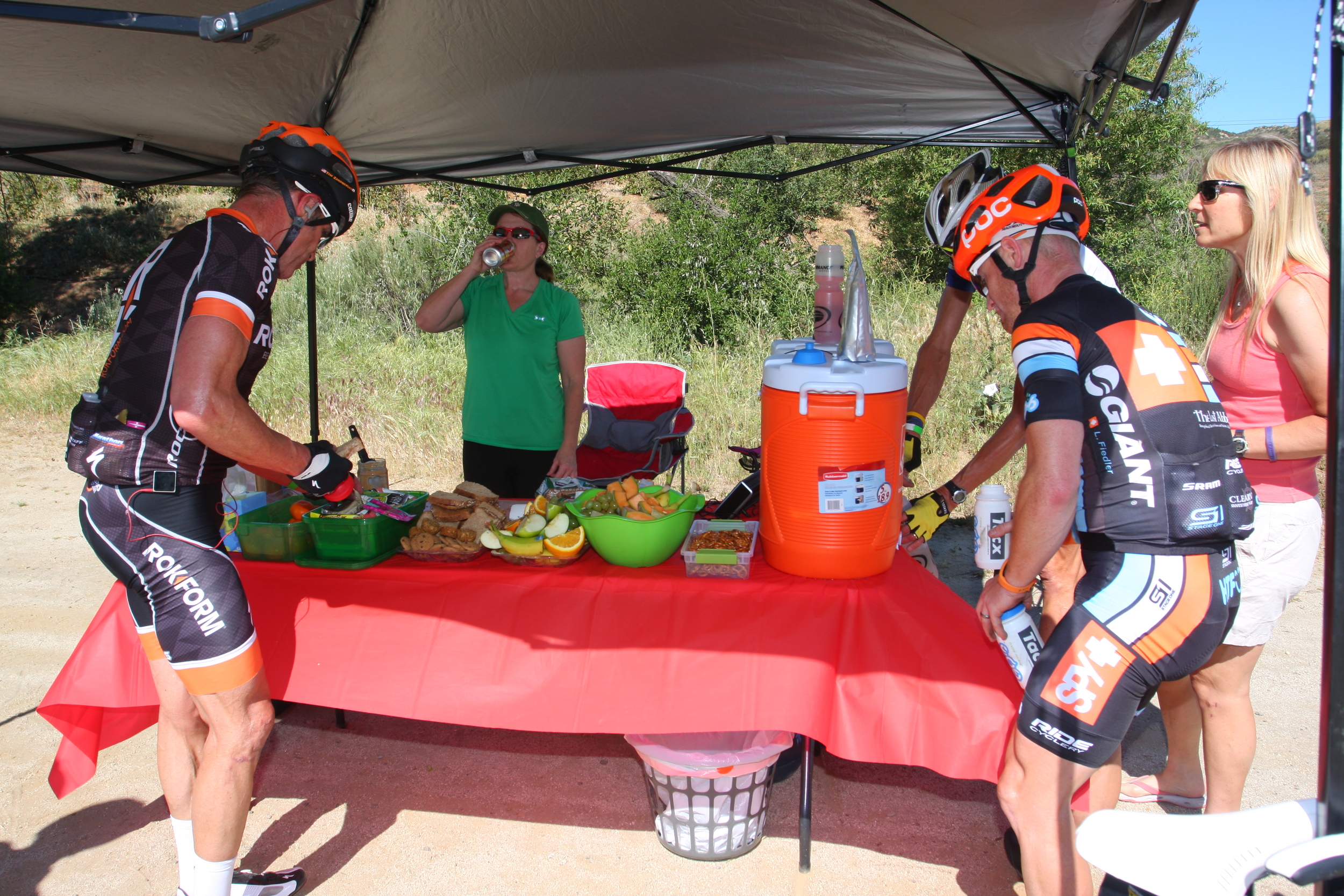
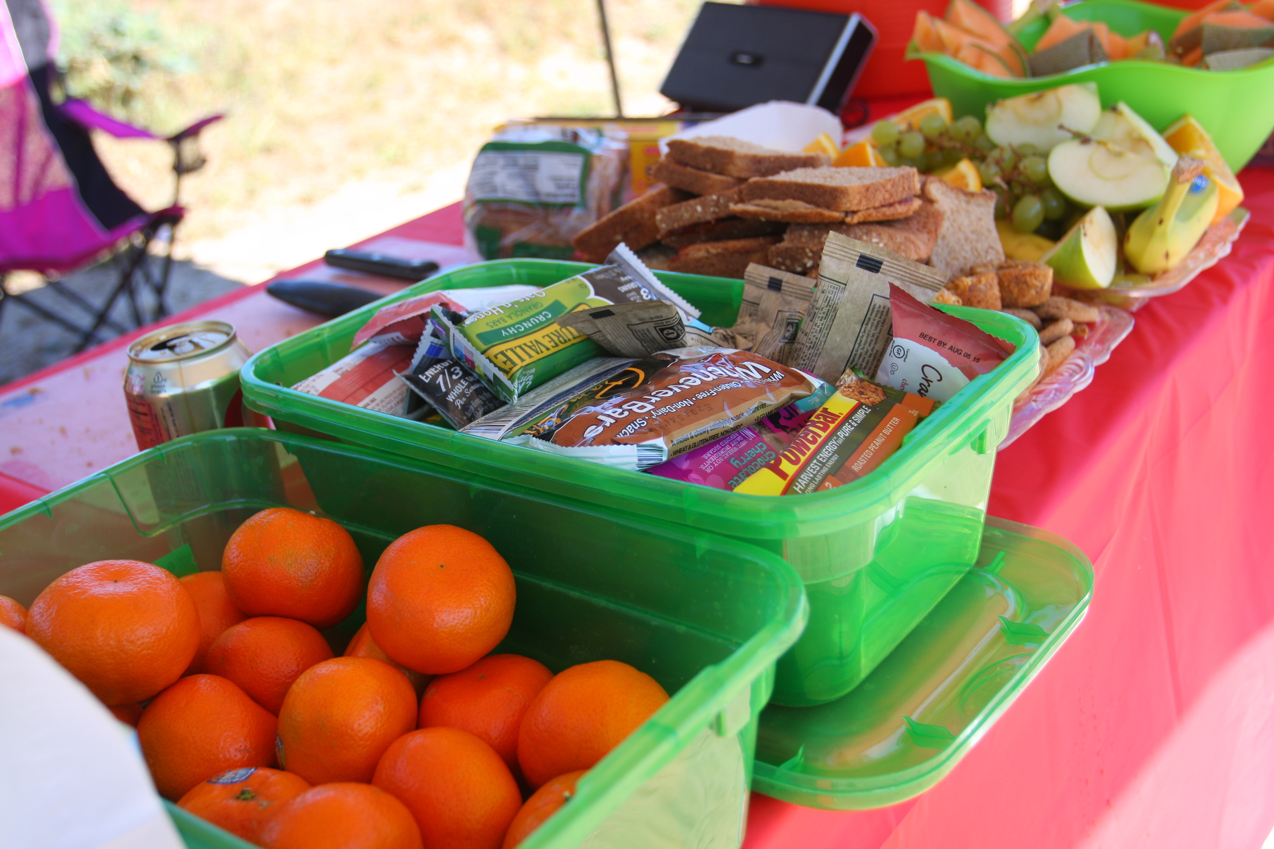
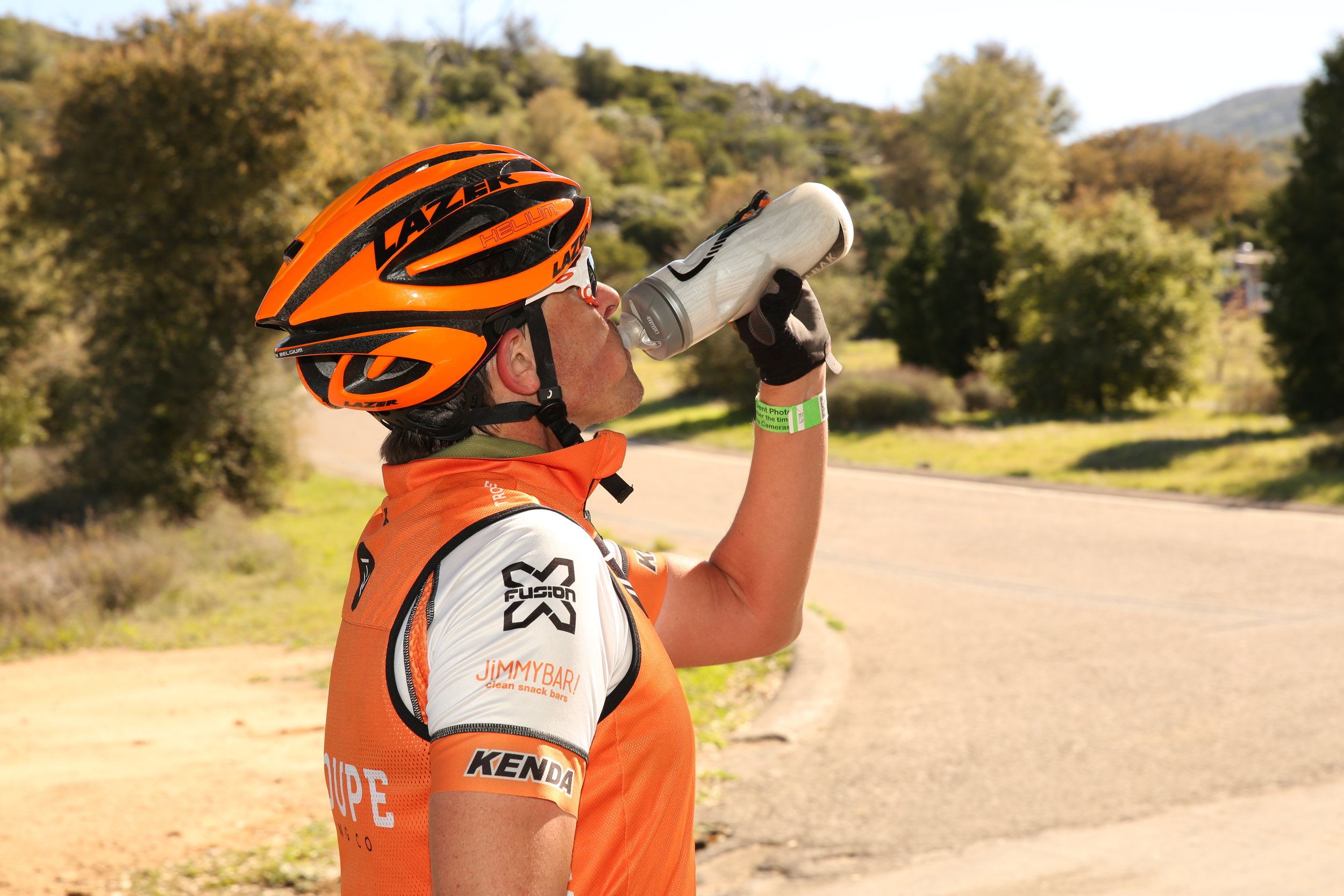
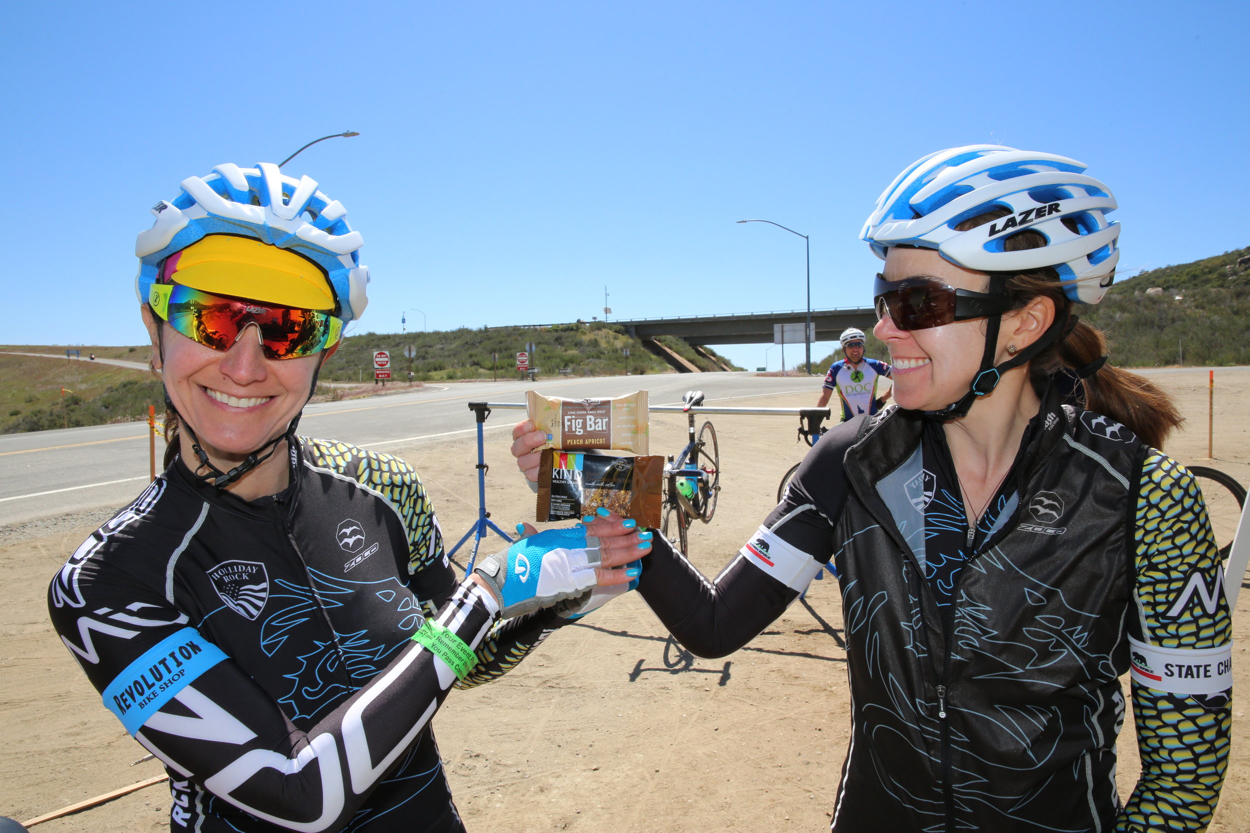
SAG stations for all routes with energy drink, water, gels, and real food; The full route features 6 SAG stations + 2 additional water/ice drops
Finish line BBQ at Campbell Creek Ranch Estate
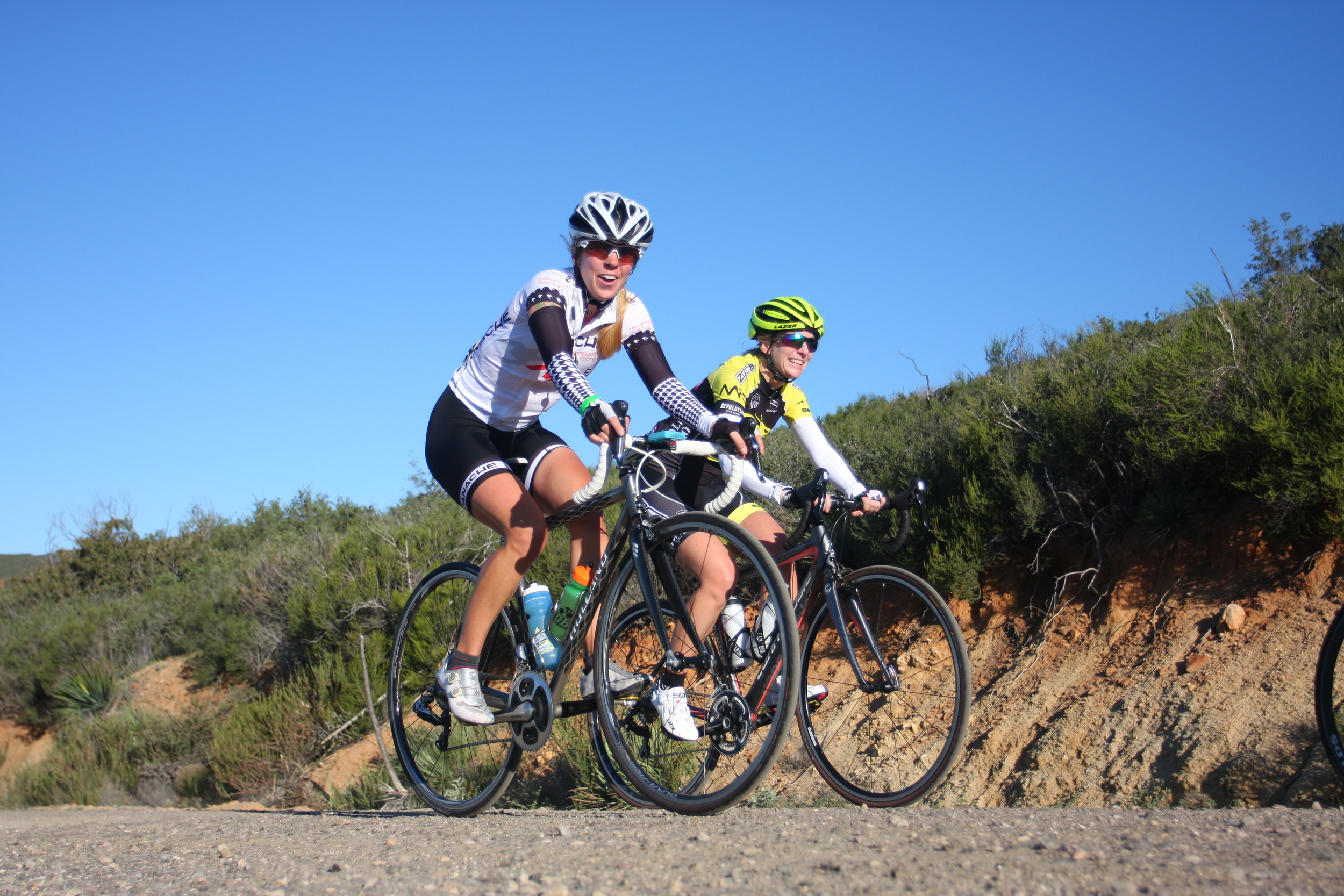
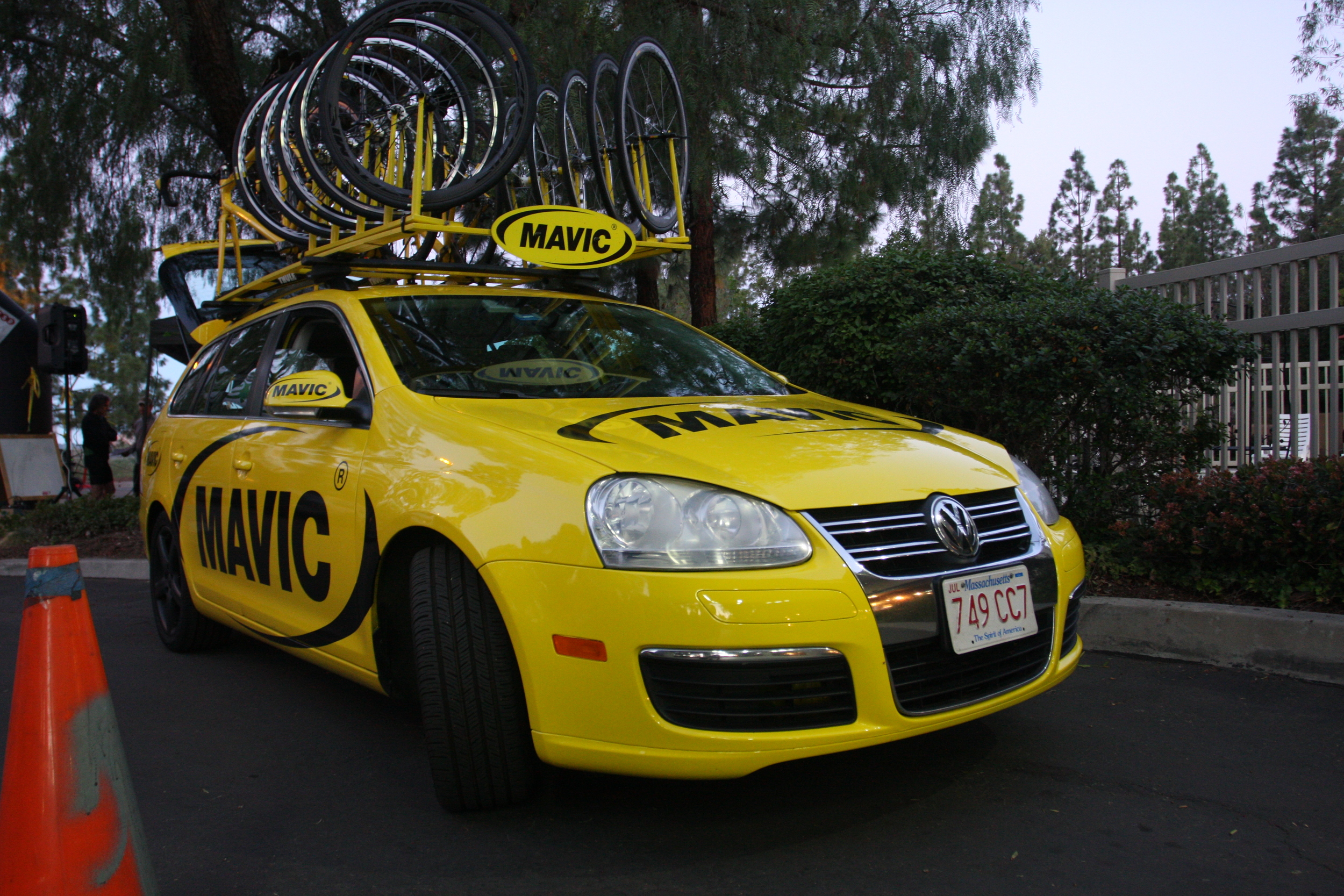
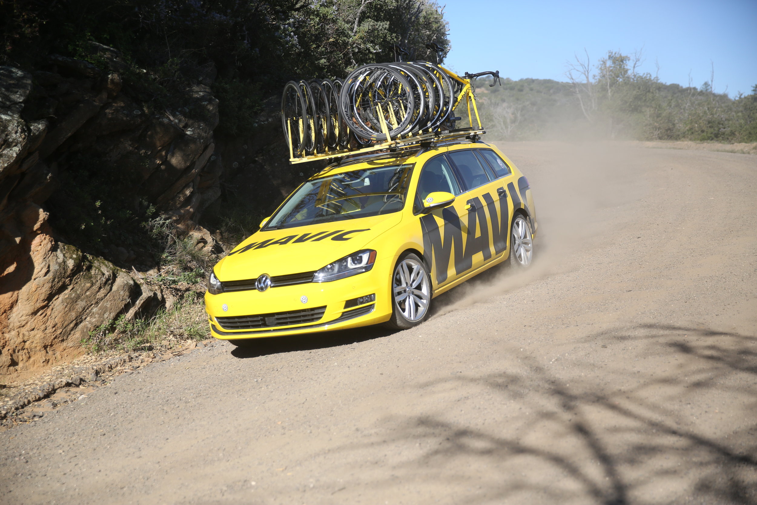
Roving on-the-bike support cycling the roads with you
Light mechanical support enroute
Unique finisher award
KOM/QOM Challenge: 3 KOMs/QOMs on the longest uphill dirt sections of Viejas, Boulder, and Black Canyon. Requires a GPS device and Strava account to tally results.
Route Information
Pick from 2 Dirt or 3 Dirt route options. All routes start and finish in Alpine, CA.
ELEVATION CHART FOR 2 DIRT COURSE
2 Dirt Option
84 miles
7,500 Feet Ascent
17 miles of dirt (Viejas = 4; Boulder = 13)
Main towns: Alpine, Julian, Descanso
ELEVATION CHART FOR 3 DIRT COURSE
3 Dirt Option
127 miles
11,000 feet ascent
28 miles of dirt (Viejas = 4; Boulder = 13; Black Canyon = 11)
Main Towns: Alpine, Santa Ysabel, Ramona, Julian, Descanso
Packed Dirt Road Information
All packed dirt road information is based on a combination of map analysis and data retrieved from riding the course. The information below and elevation charts for each dirt road only contain information for the dirt sections of the named roads. There may be more climbing and/or descending on pavement for each of the named roads.
ELEVATION CHART FOR DIRT SECTION OF VIEJAS GRADE
Viejas Grade:
~4 miles of packed dirt that starts at mile 3.9 and finishes at mile 8.3.
Starting elevation is 2498 feet and finishing elevation is 3662 feet.
Total elevation gain is 1164 feet.
Average grade is 5.7%. Steepest grade is 7%.
Section note: Short shallow descent on dirt after summit.
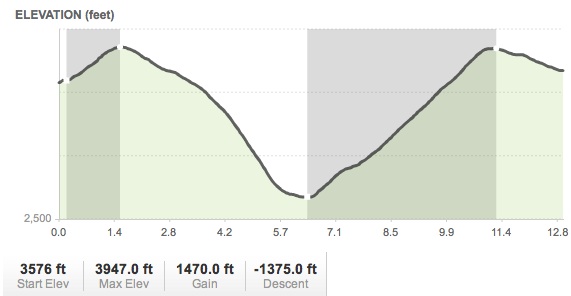
ELEVATION CHART FOR DIRT SECTION OF BOULDER CREEK
Boulder Creek:
~13 miles of dirt that starts at mile 14.5 and finishes at mile 27.1.
Starting elevation is 3576 feet and finishing elevation is 3673 feet.
Total elevation ascent is 1456 feet.
Average grade is 4.7%. Steepest grade is 11%.
Section notes: Descent is 1359 feet elevation loss on dirt. Some sections of loose dirt toward road edges, some washboard in the tire lanes, and some gravel towards the bottom of the descent.
ELEVATION CHART FOR DIRT SECTION OF BLACK CANYON
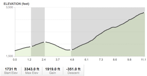
Black Canyon:
~11 miles of dirt that starts at mile 57.5 and finishes at mile 68.5.
Starting elevation is 1731 feet and finishing elevation is 3297 feet.
Total elevation ascent is 1926 feet.
Average grade is 4.0%. Steepest grade is 7%.
Section notes: Descent is 360 feet elevation loss on dirt. Some sections of loose dirt toward road edges.
Further Event Information
All information in this section is tentative. Further information will be made available to registered participants.
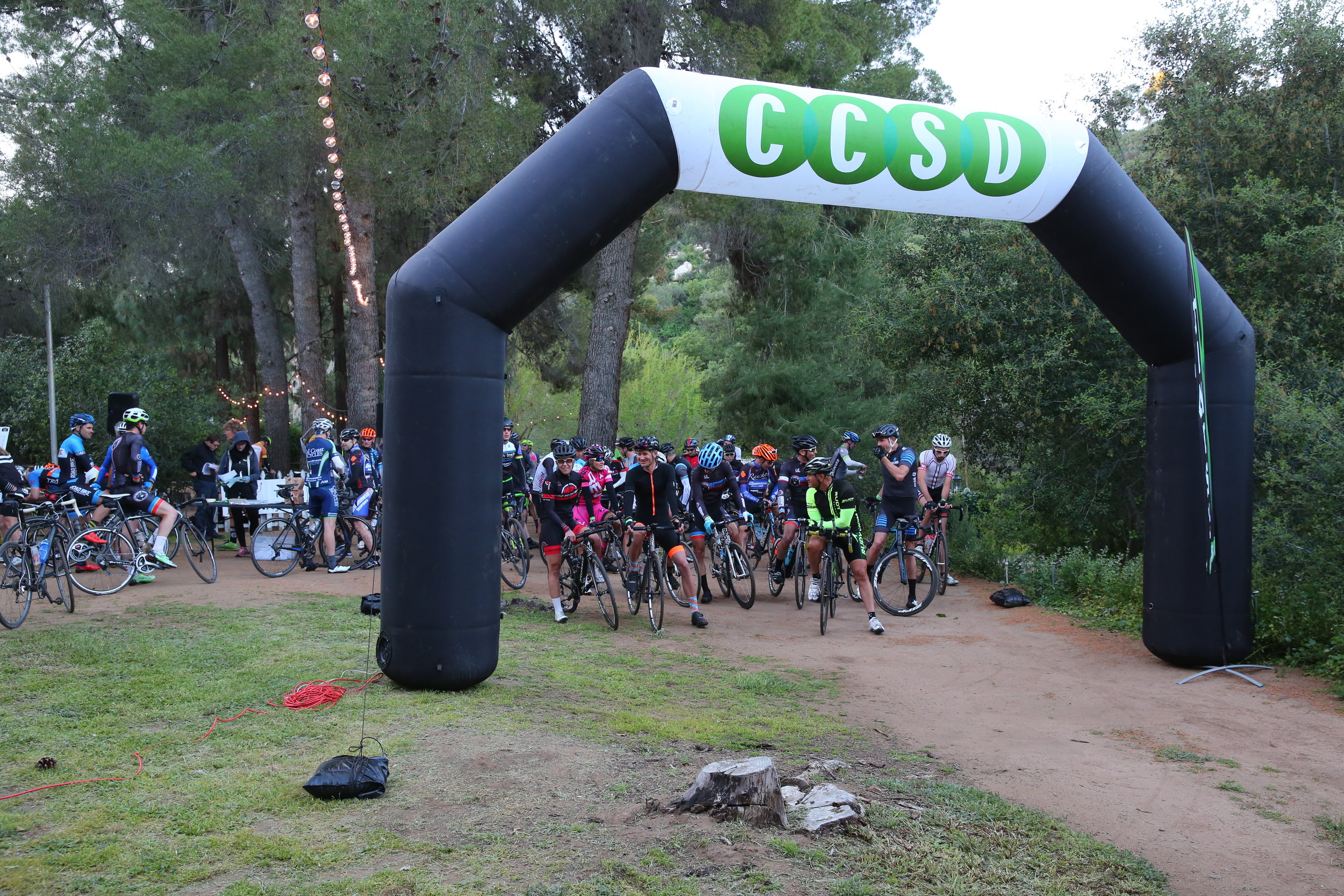
Registration sign-in on Saturday morning starting at 6:00am at Campbell Creek Ranch Estate in Alpine, CA.
Sunrise: 6:44am (civil twilight 6:20am)
Sunset: 7:02pm (civil twilight 7:26pm)
Phase of the Moon: waning with 7% of the Moon’s visible disk illuminated.
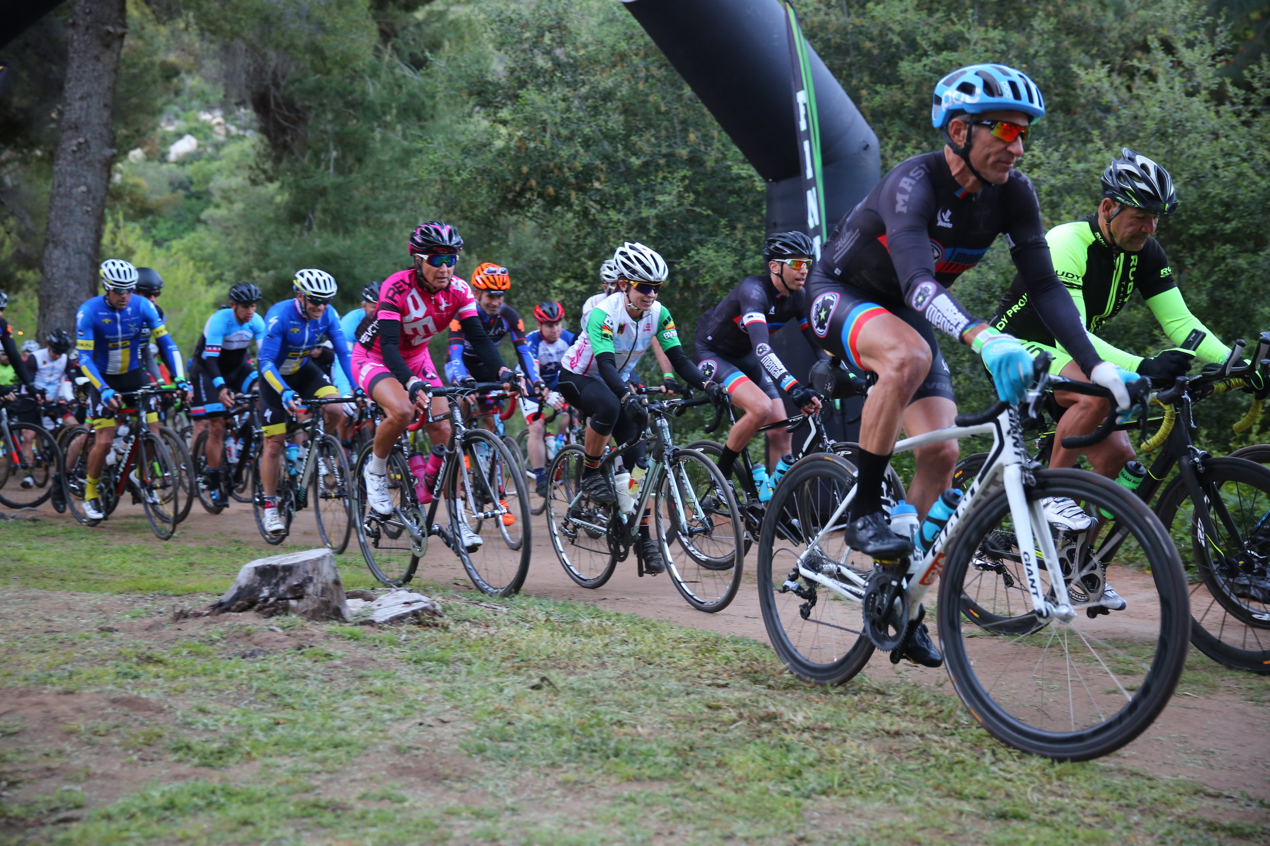
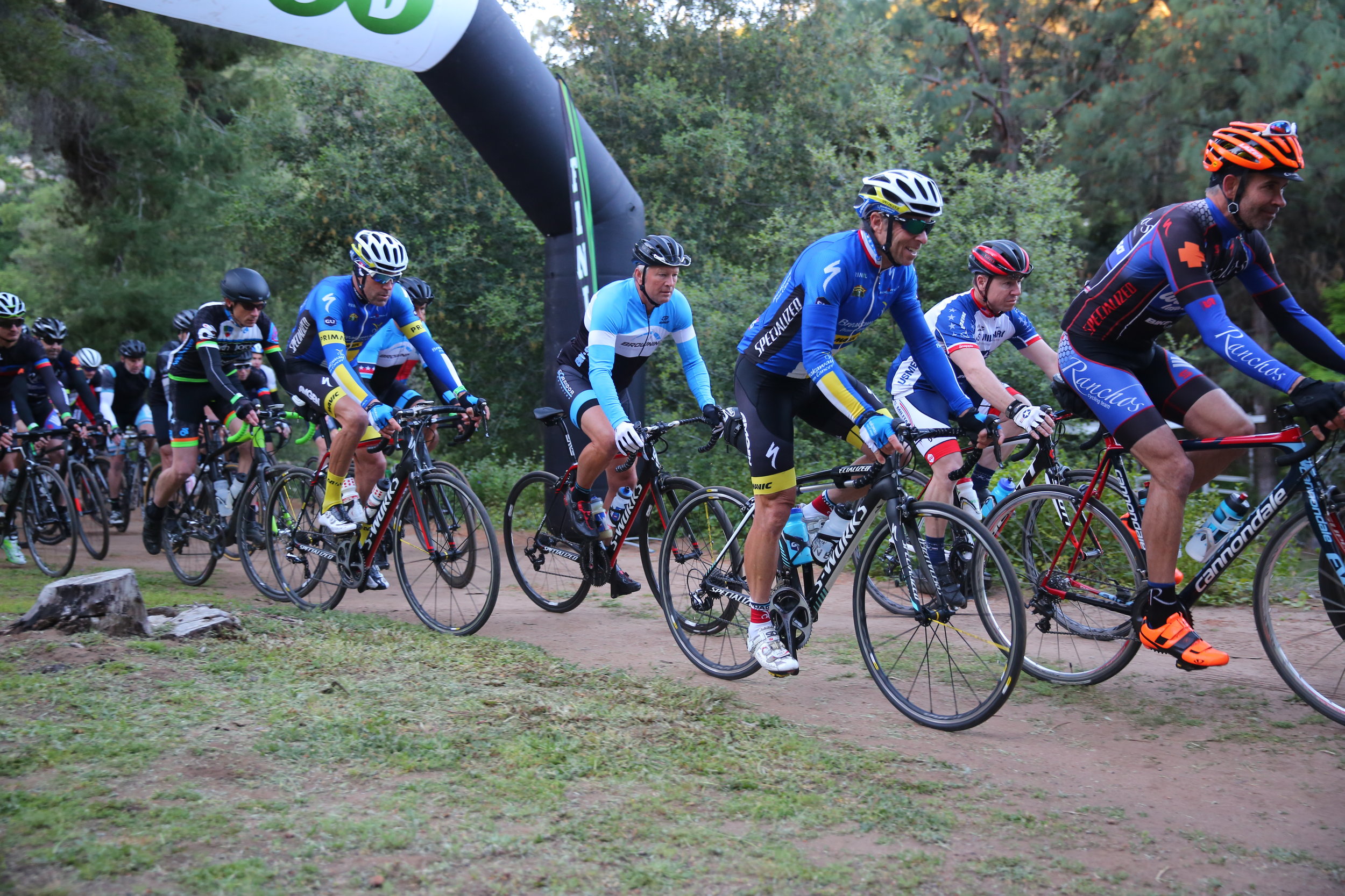
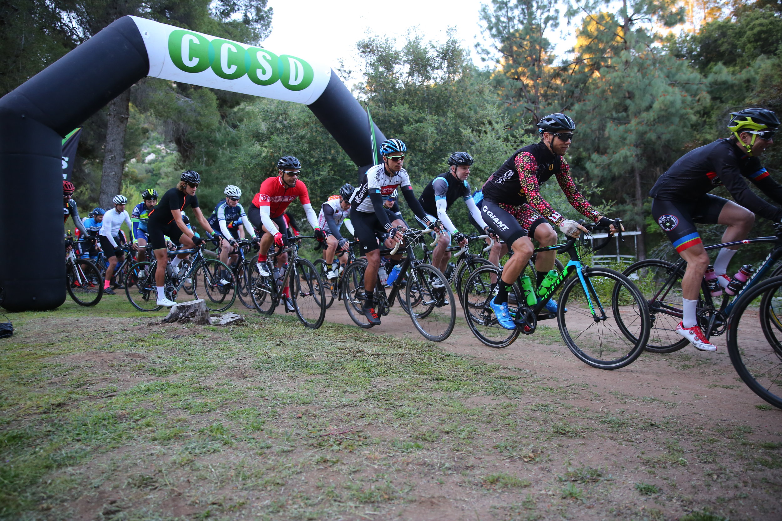
Official Start Time for all routes (84-mile and 127-mile) is 7:00am
Official Course Closure and Finish Time for all routes is 7:00pm
SAG Time Cutoffs: Noted in event guide, you will receive after registration
If the weather is threatening (e.g., flash flooding, extreme wind, wild fires, etc.), CCSD reserves the right to change routes, shorten routes, or cancel all or part of the event without refund.
Dirt Road Riding Information
Registered participants will receive access to e-handouts providing tips on dirt road riding, plus properly riding endurance events, including tips on reconnoitering the dirt roads selected for the event.
E-handout topics to include:
Climbing, descending, and bike handling techniques for riding a road bike on dirt roads
Proper gear selection (i.e., tires, wheels, cassettes, etc.) for riding a road bike on dirt roads
Bike mechanical prep and bike maintenance before, during, and after riding on dirt roads
Pacing techniques for better times on long distance rides
Nutrition techniques for better performance on long distance rides

Questions?
Please contact Robert at robert@ccsd.com.